


Overview
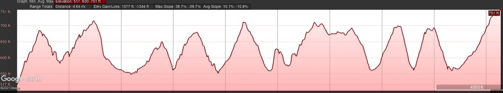
- Length: 4.7 miles
- Elevation gain / loss: +1577 ft / – 1344ft
- Surface: woodland trail
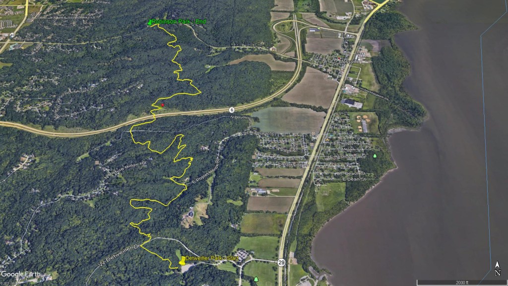
- Start Location: Detweiller Park, Peoria, IL – Dogwood & Pine Shelter Parking Lot
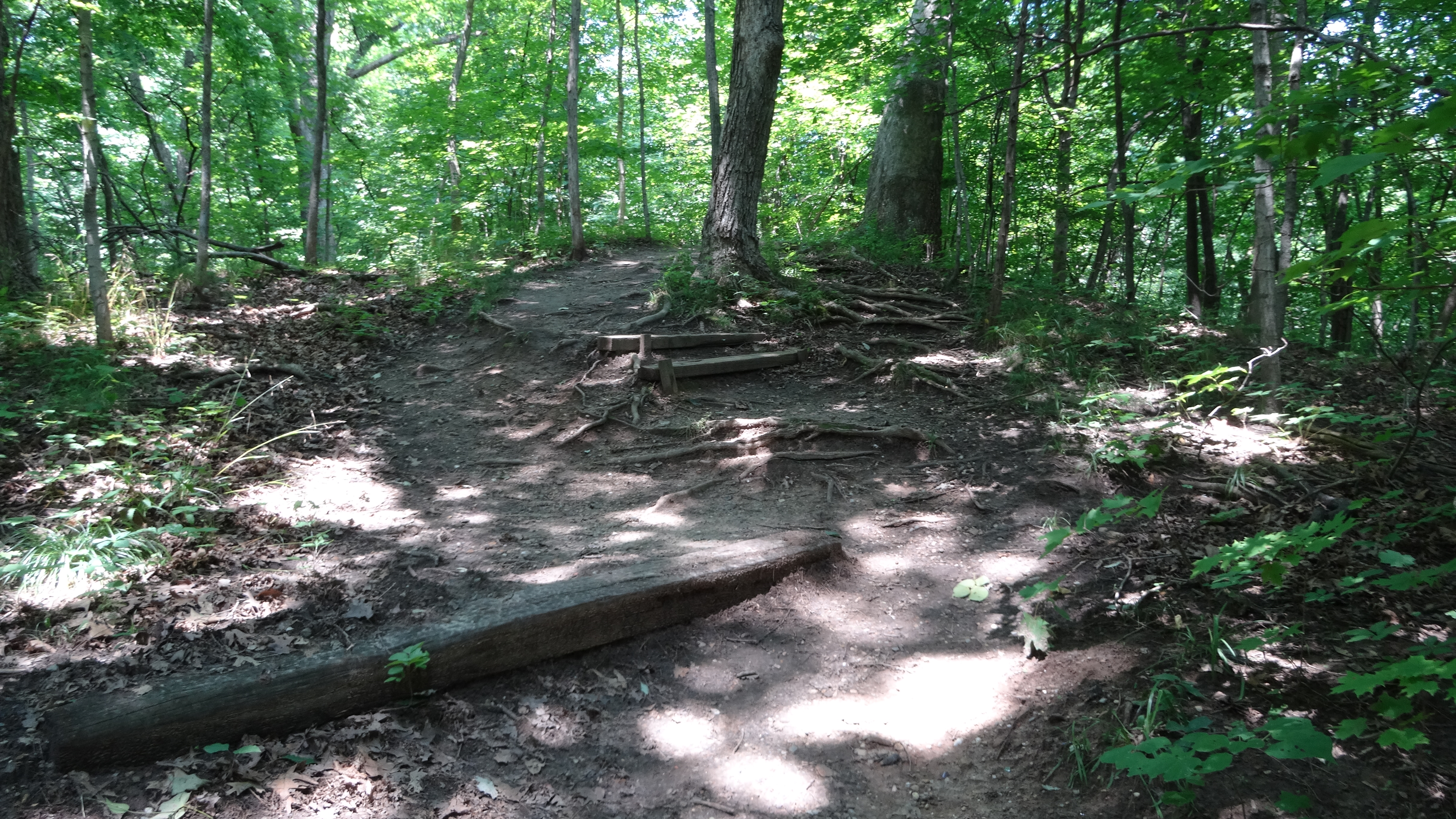
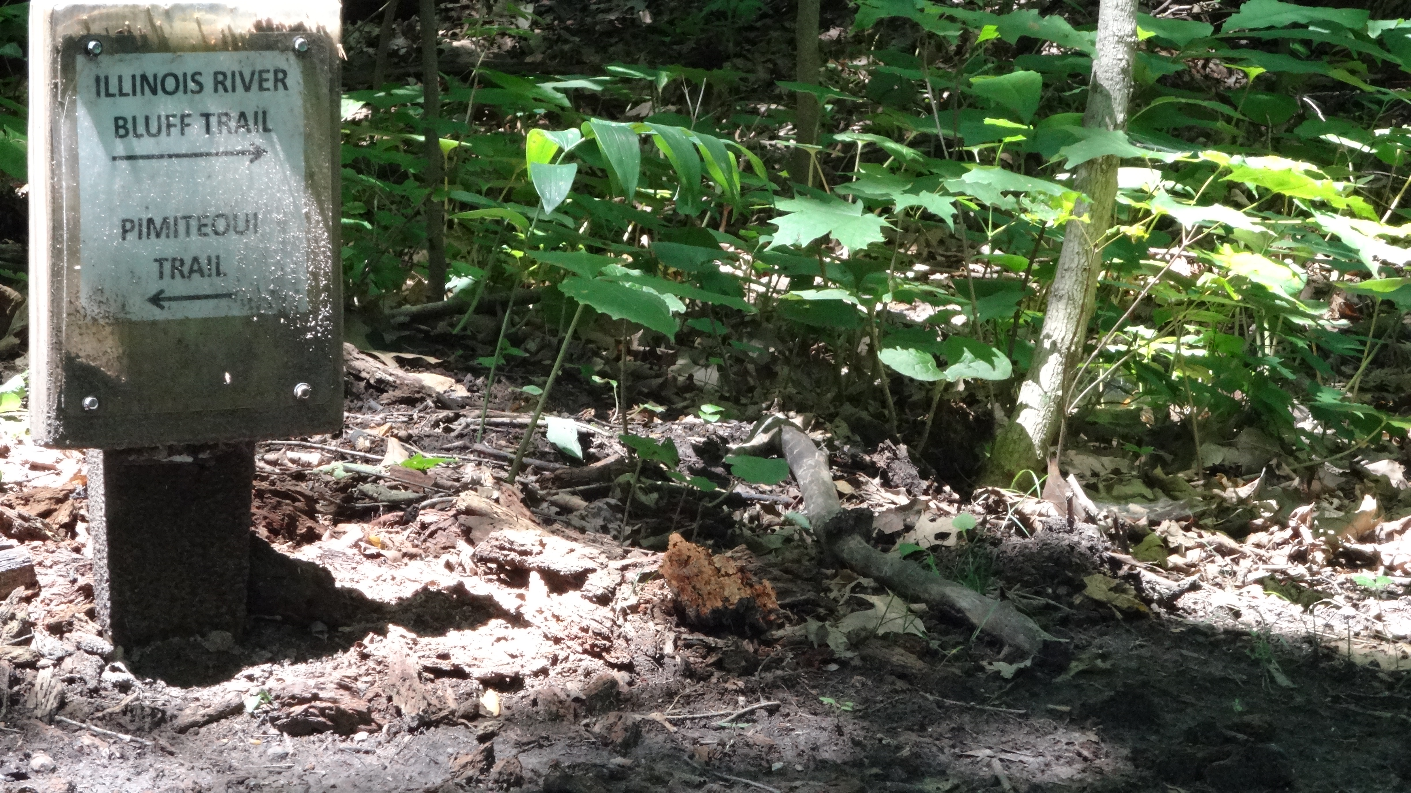
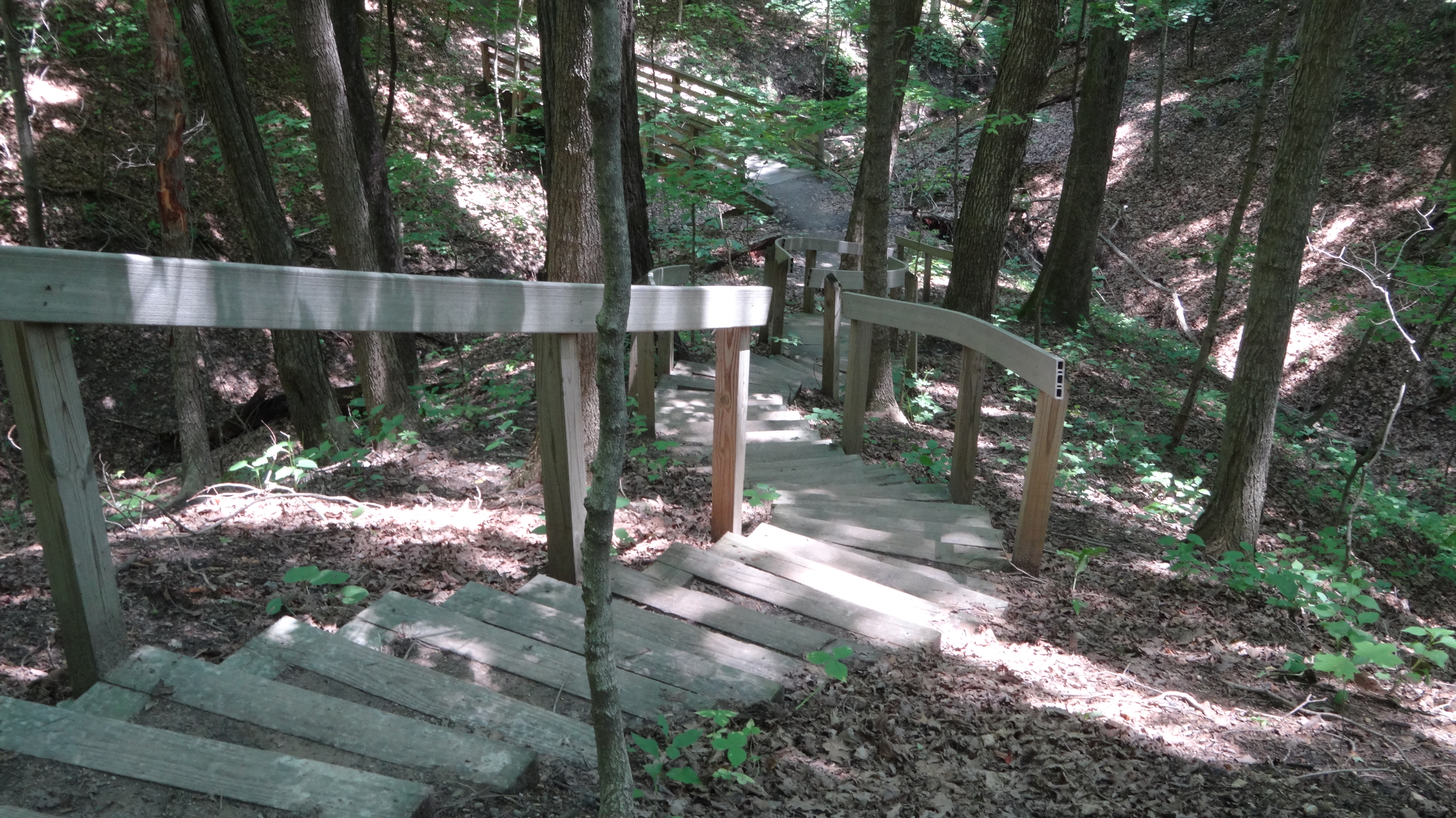
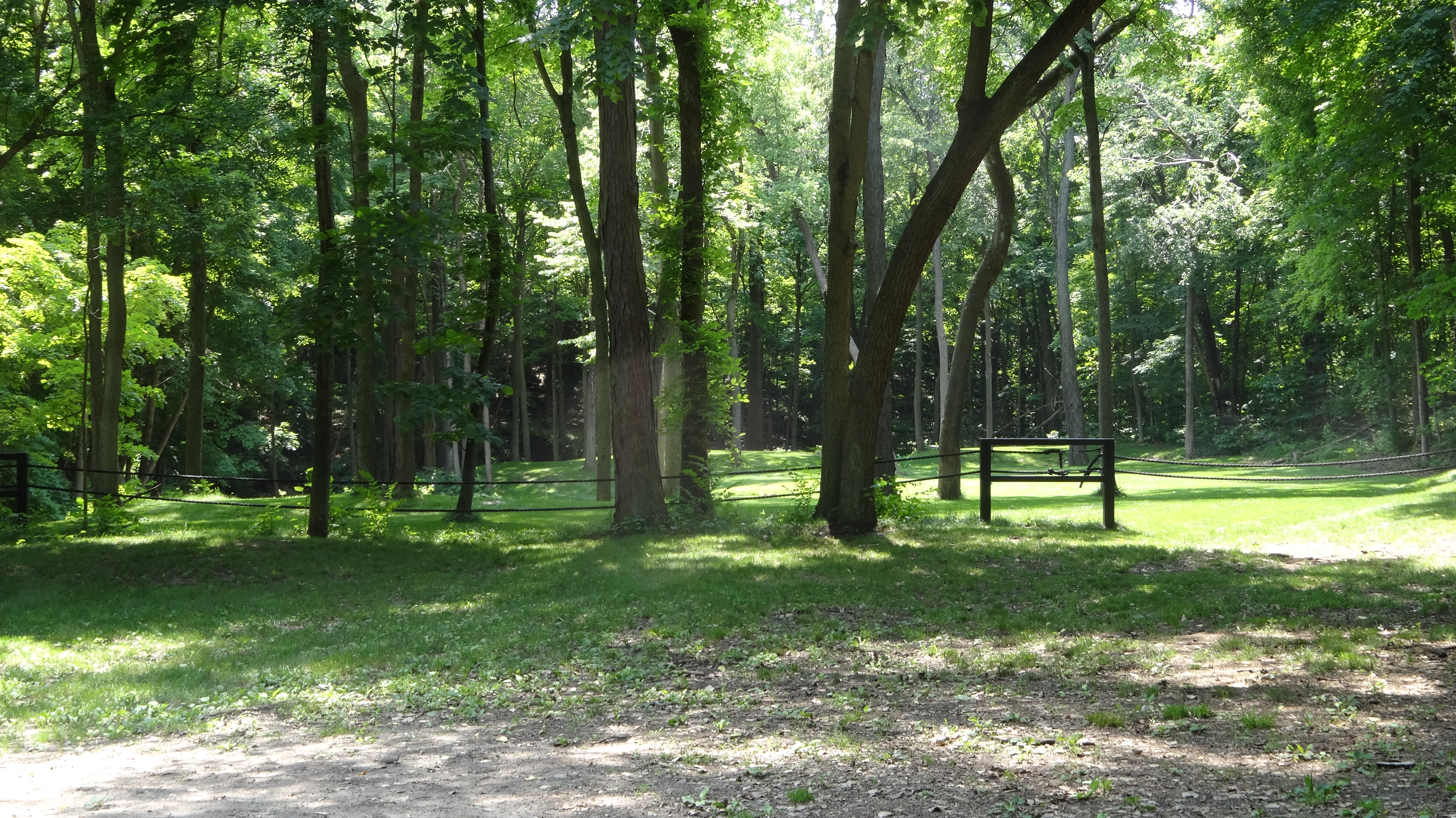
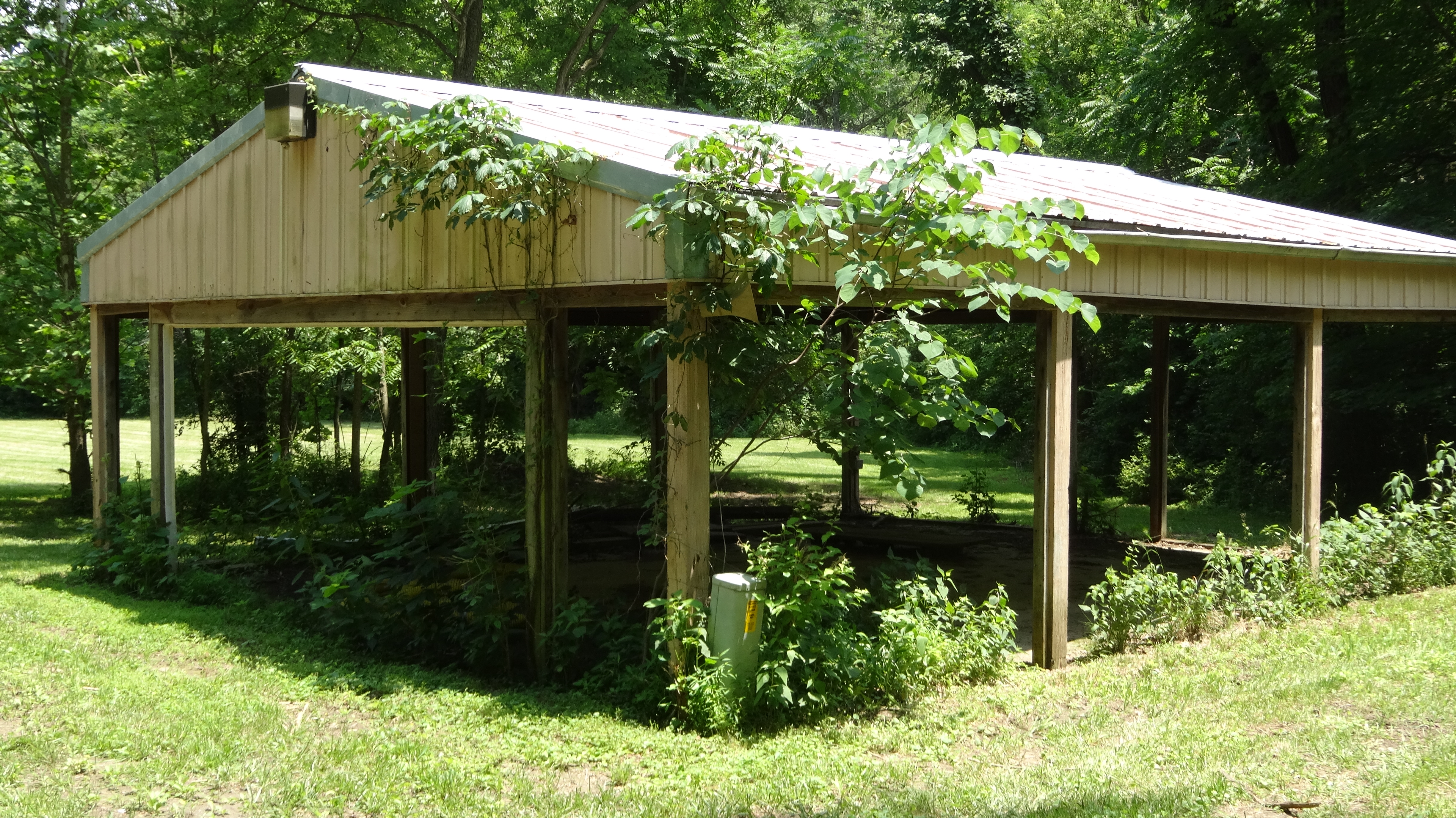
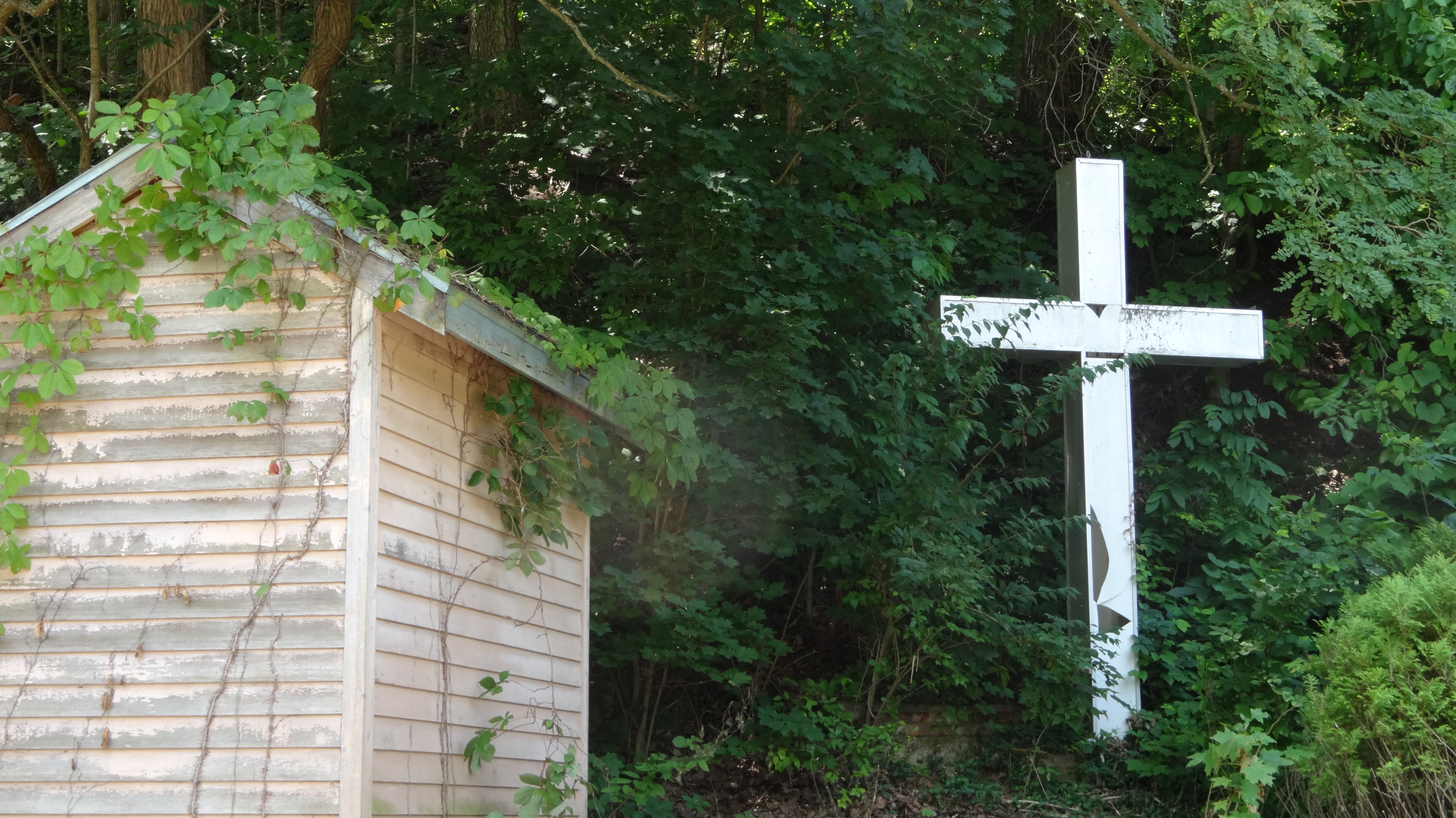
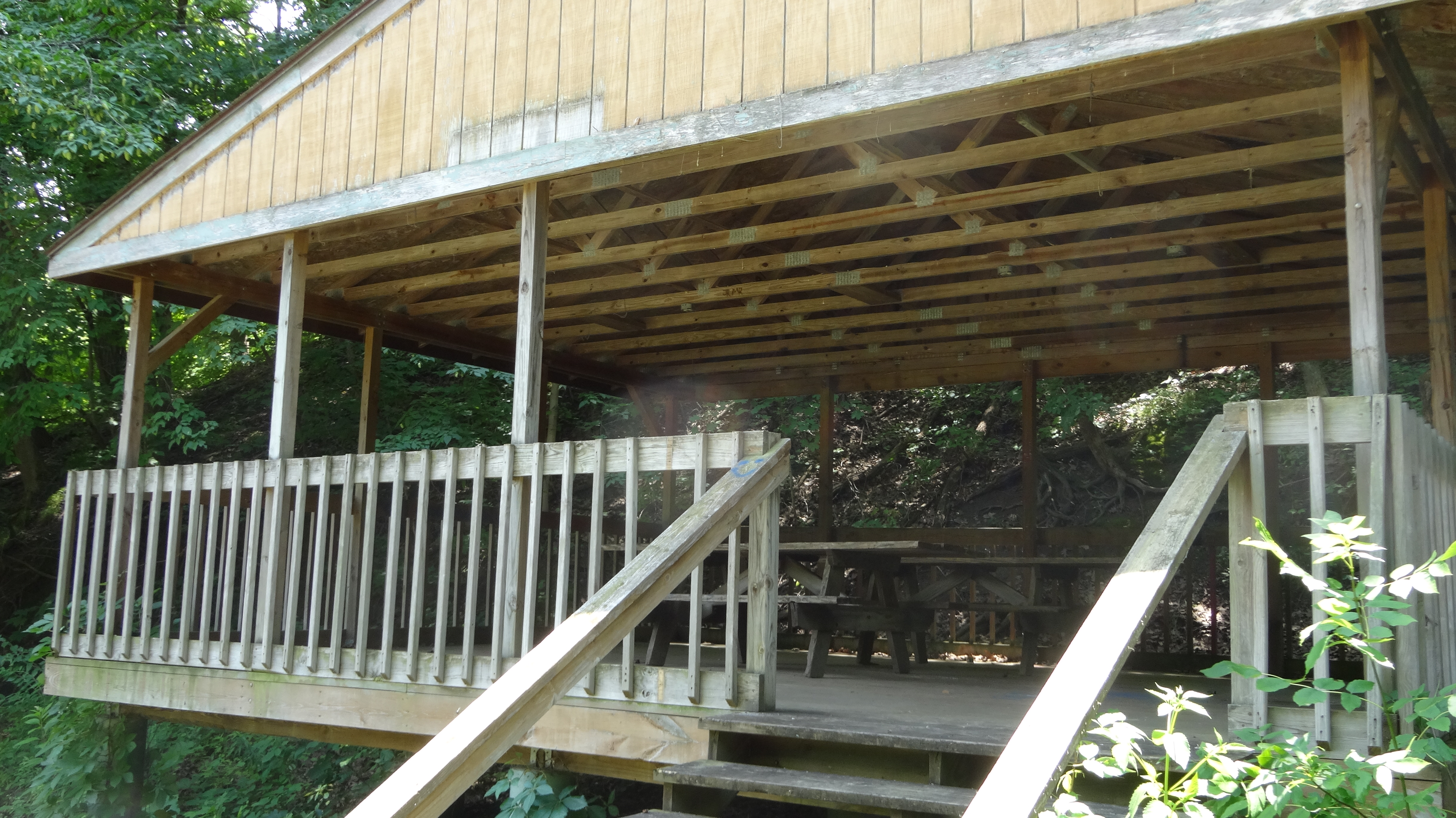
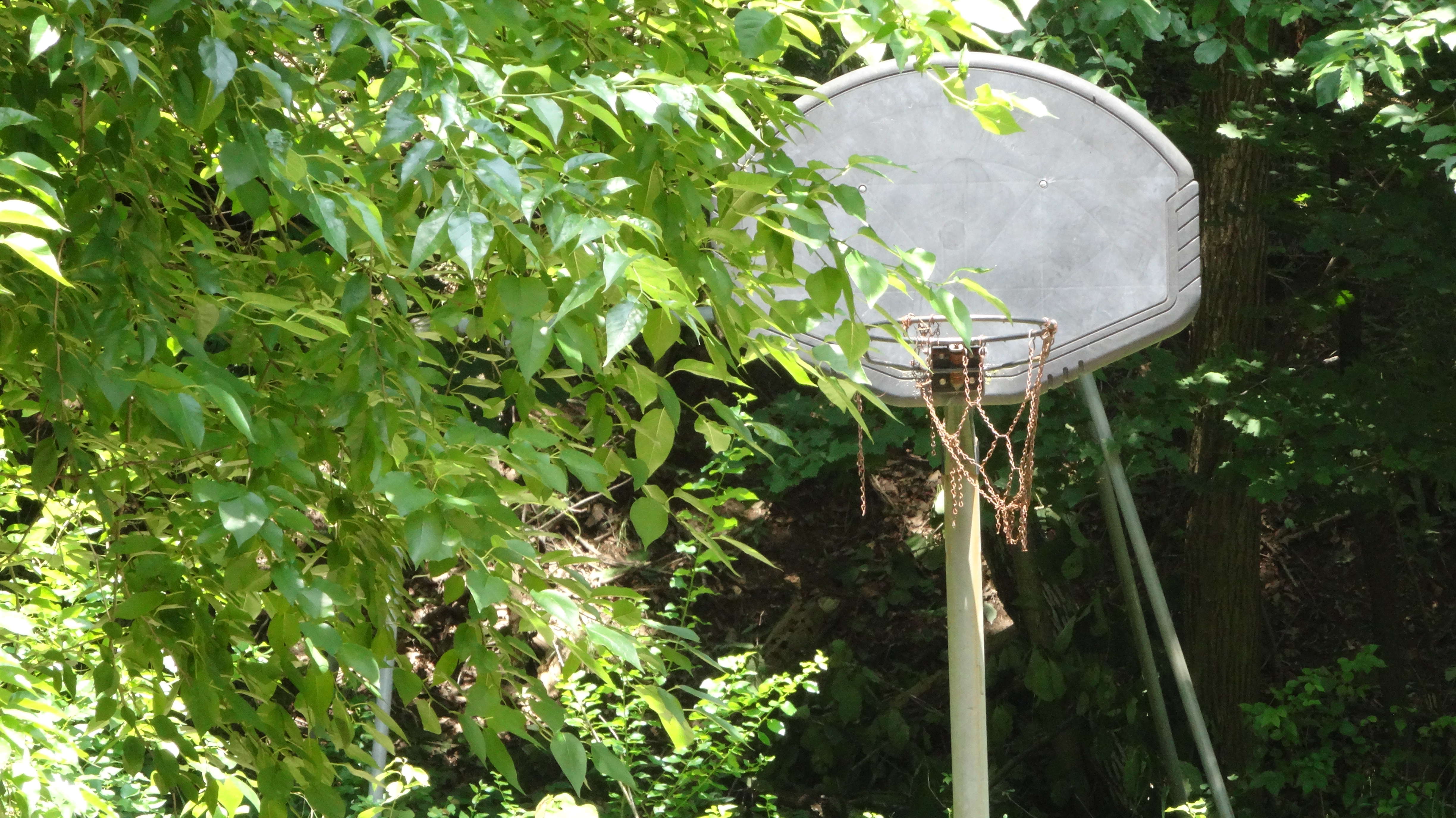
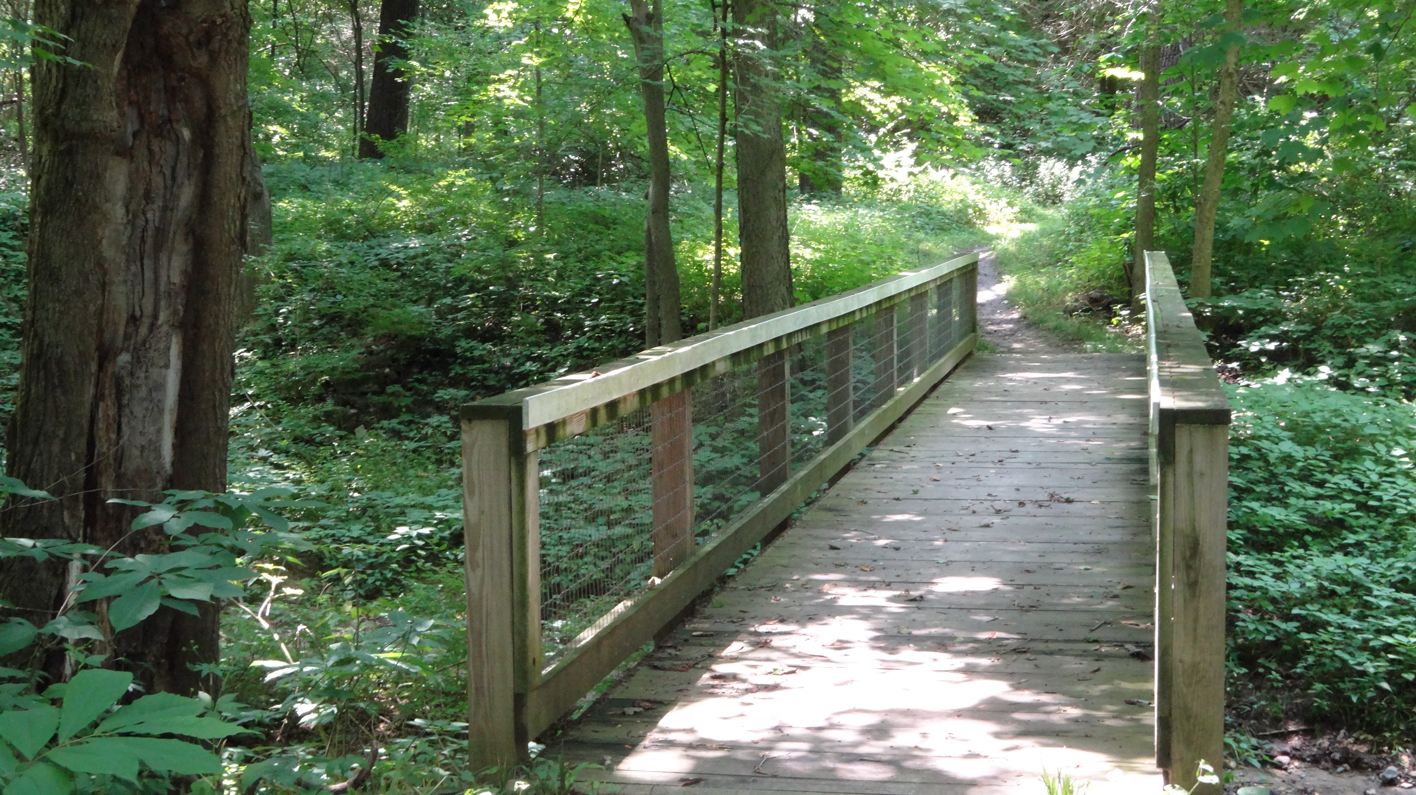
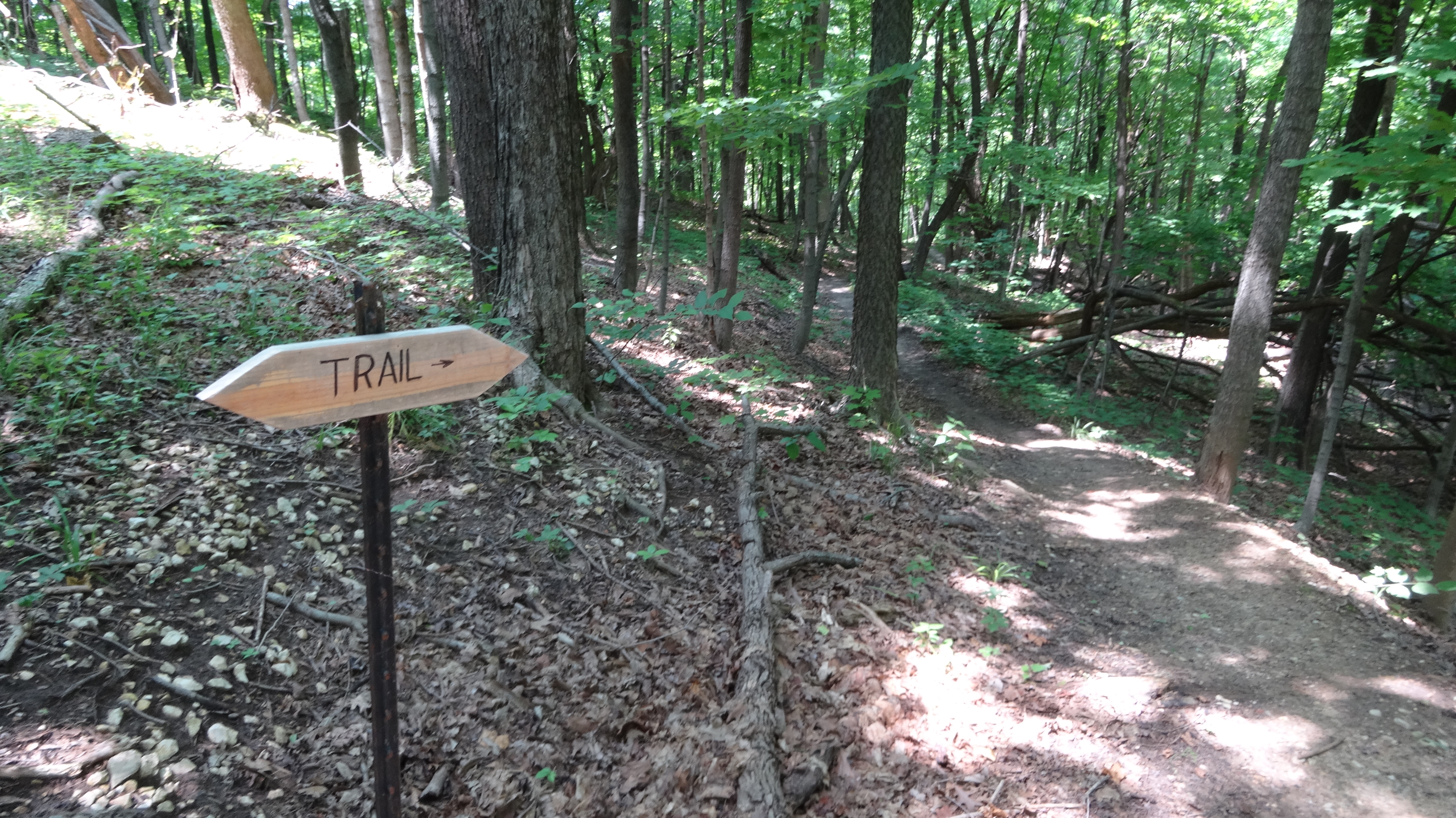
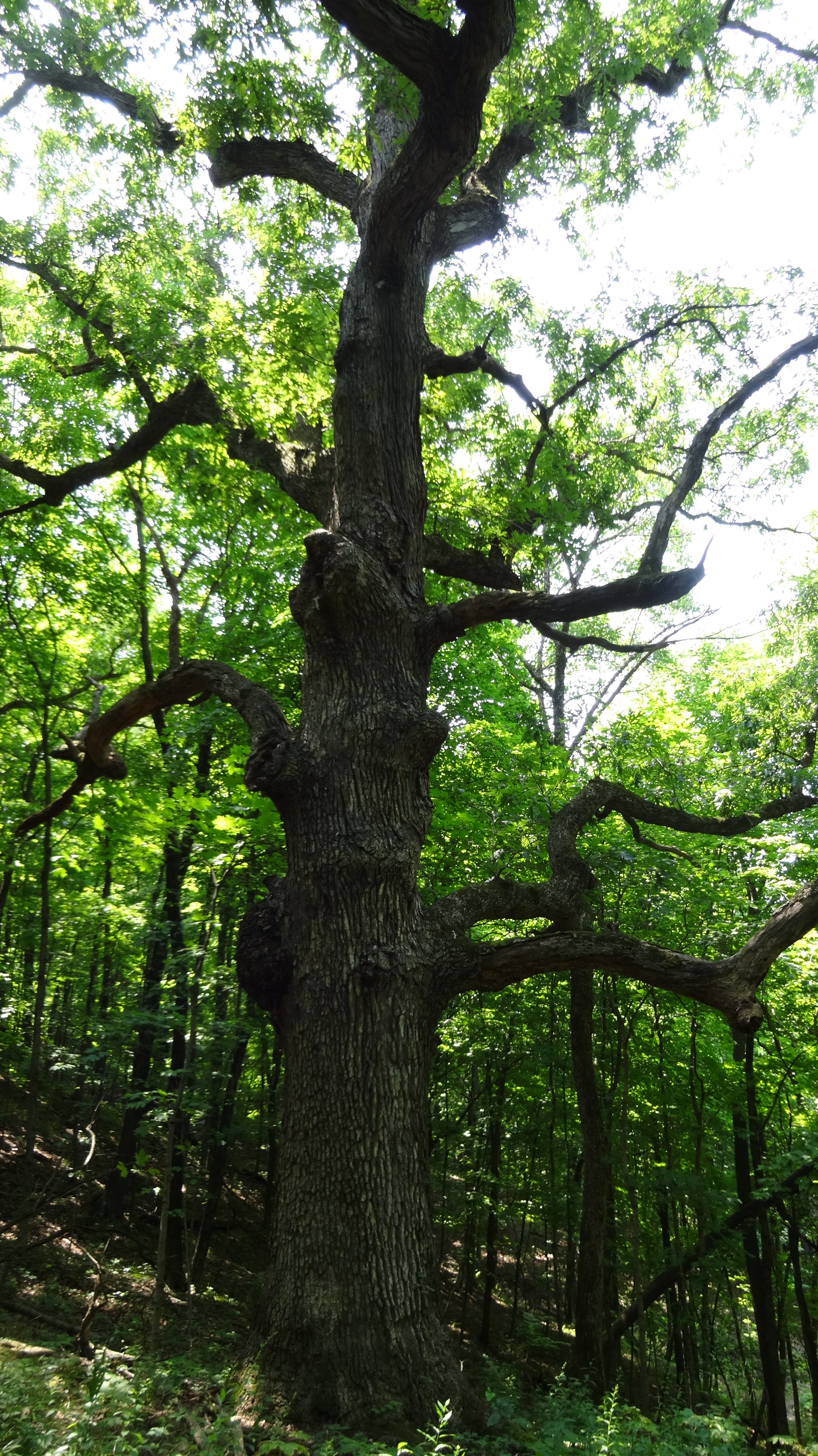
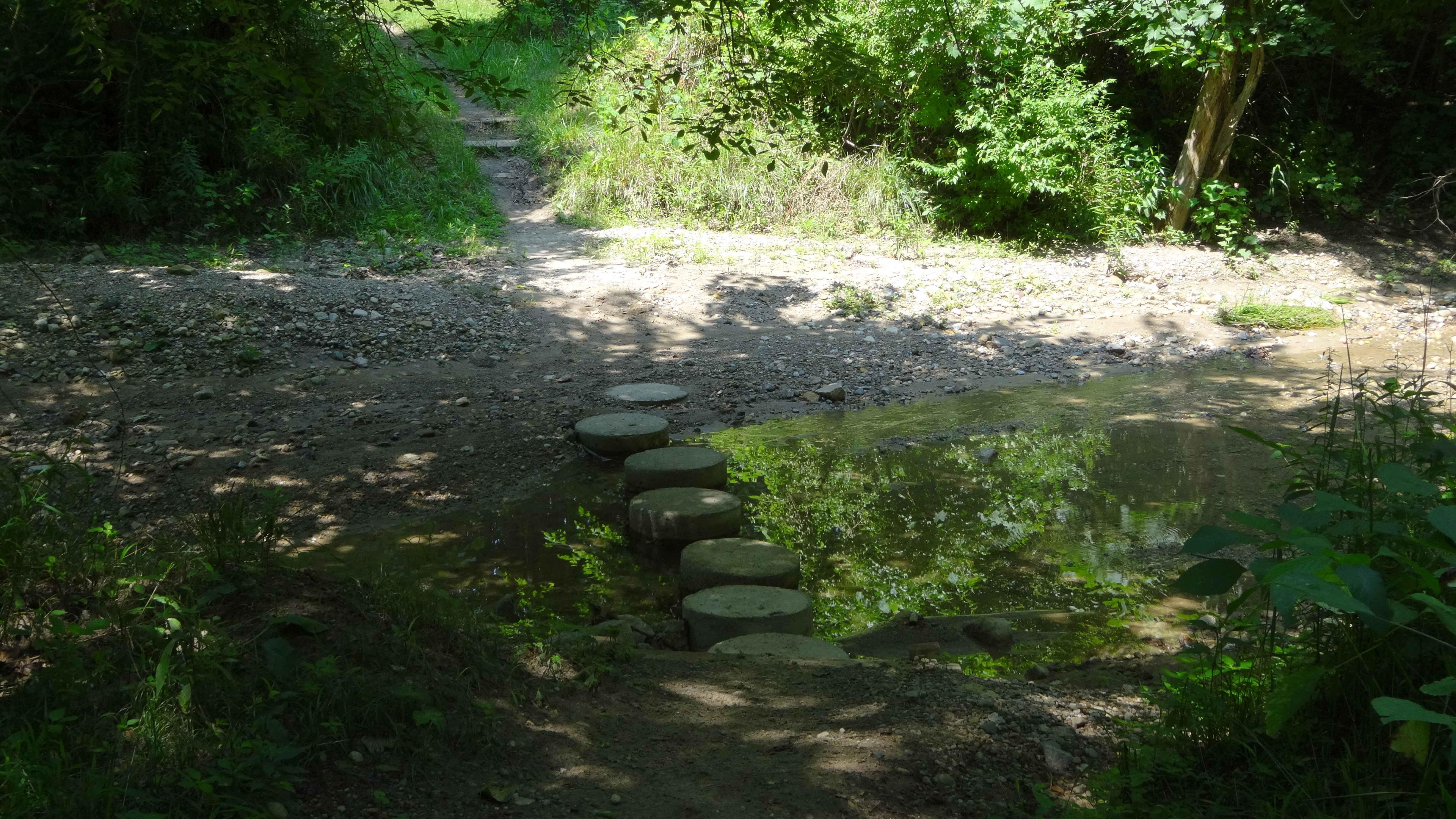
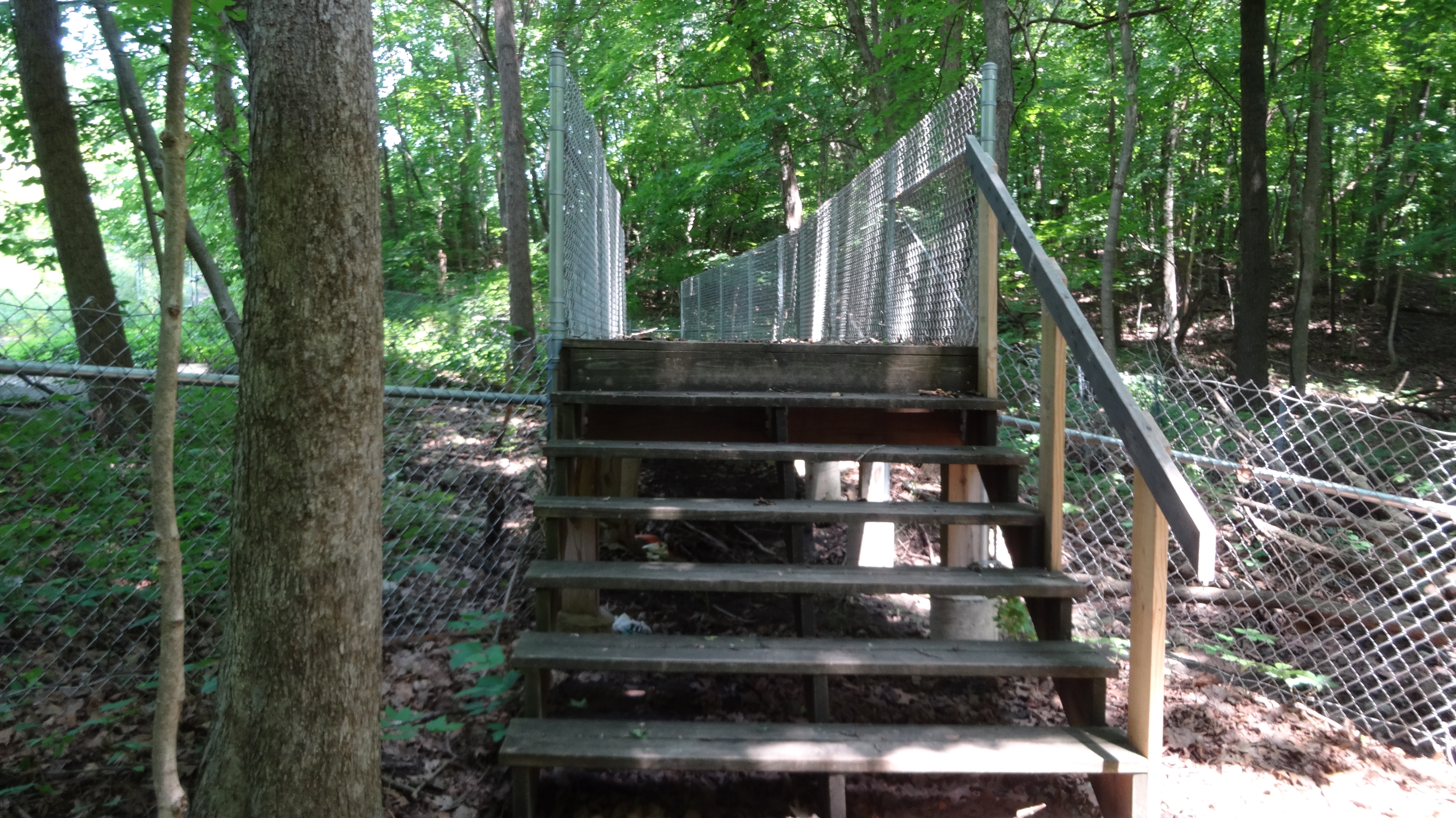
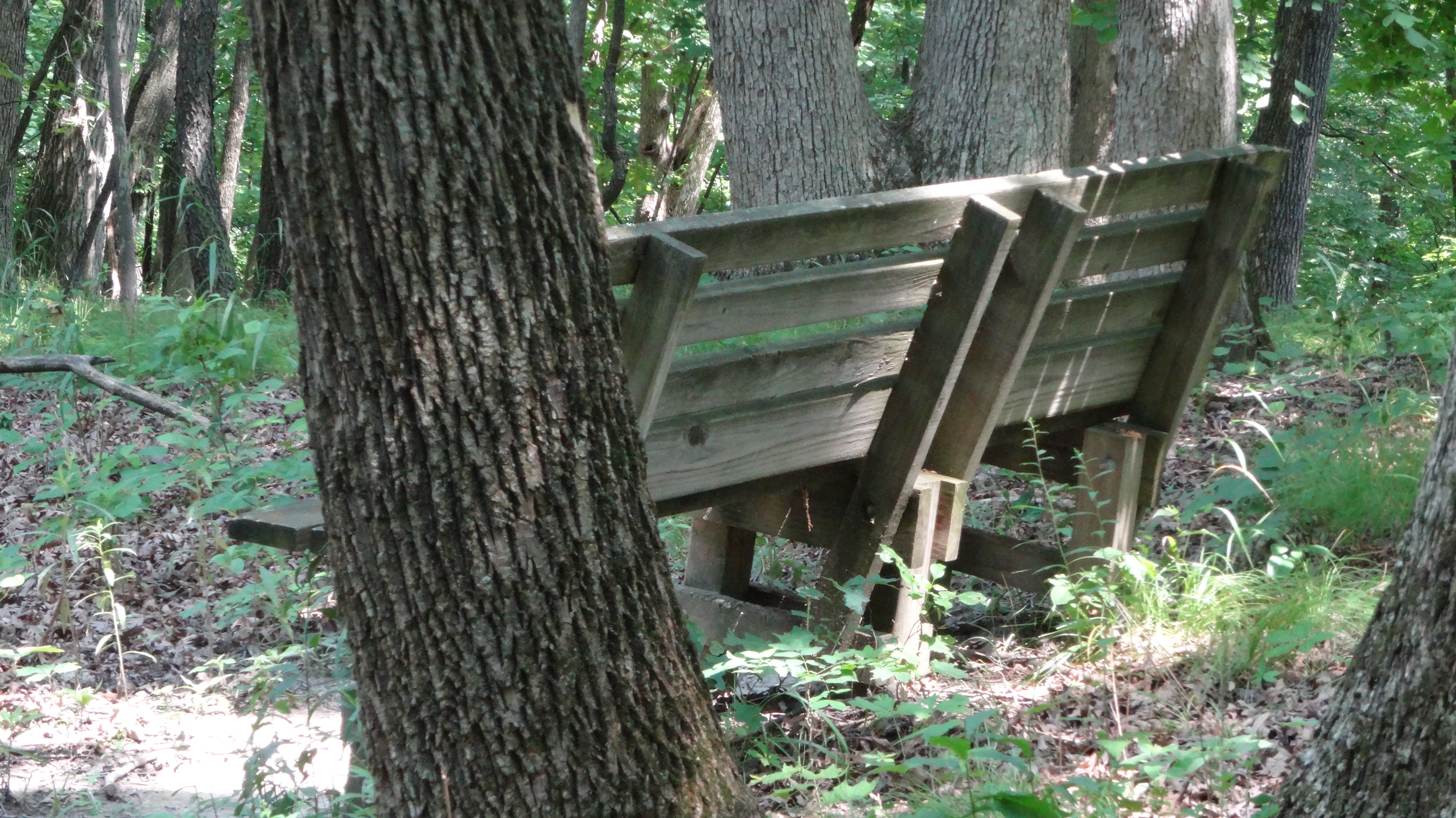
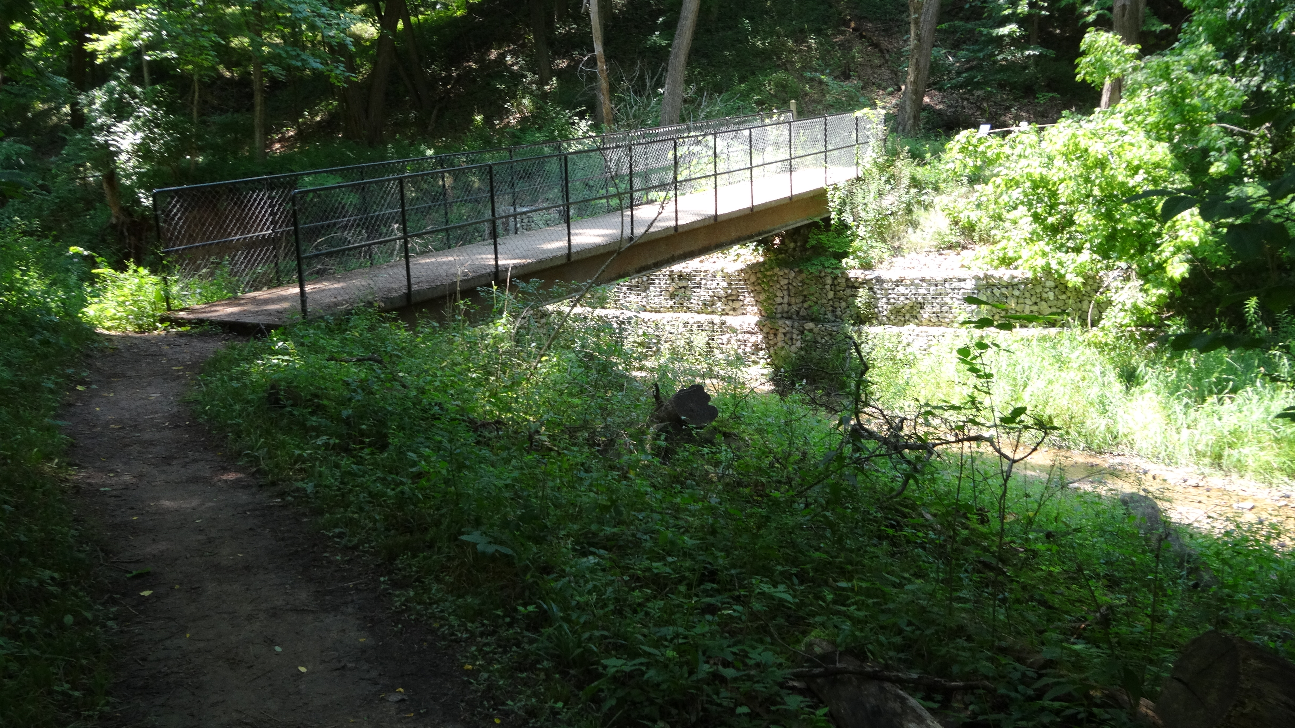
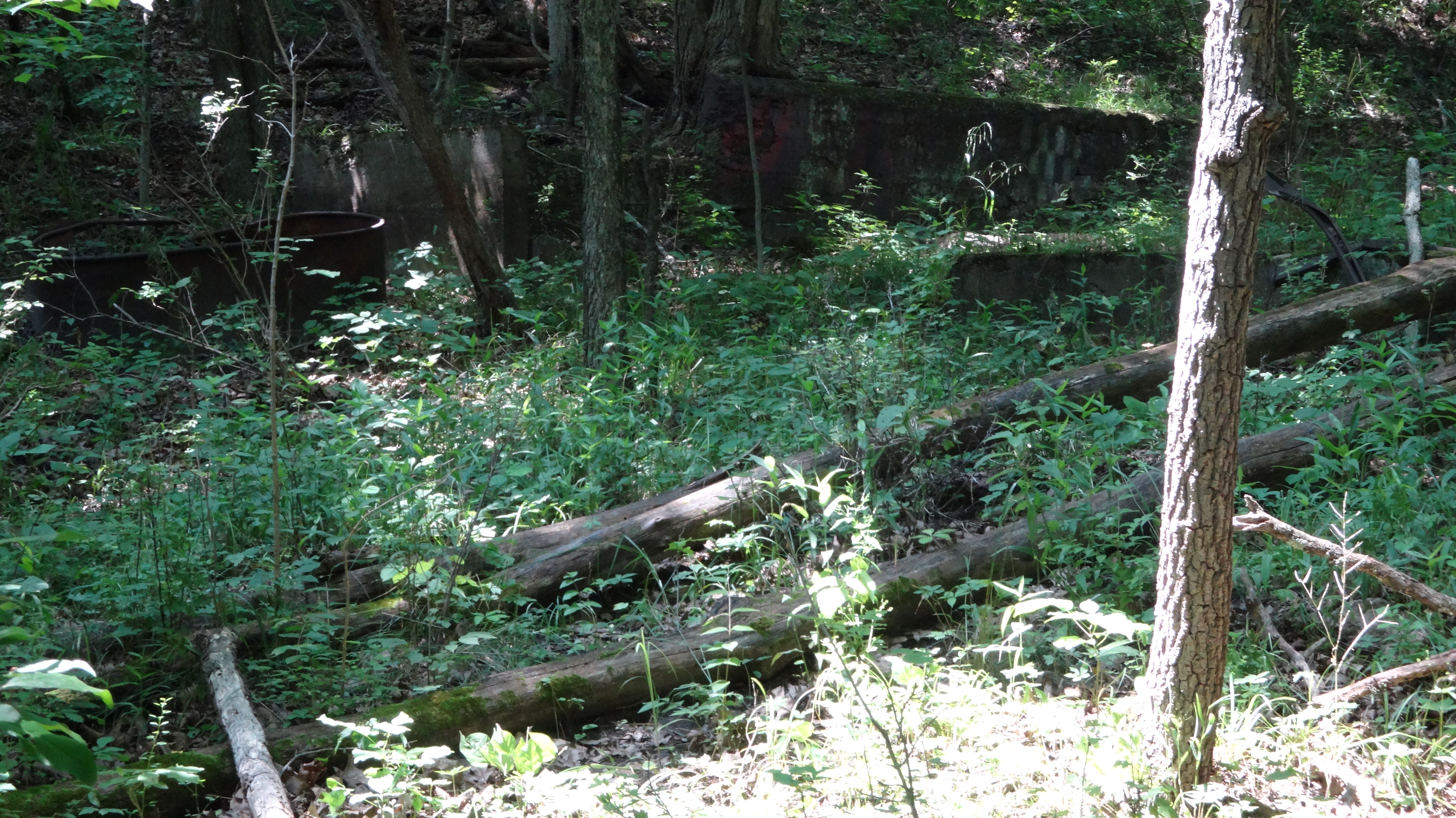
The Illinois River Bluff Trail is one of the premier trails in the Peoria area. It will take you through miles of deep forest dominated with towering oaks, an abandon homestead, and passes through park district property that was formerly the Salvation Army Green Valley Camp. The trail delivers more elevation gain and loss than any other long hike in the Peoria area. Because of the constant accents and descents, most hikers will find this 4.7 section to be more than enough challenge. This 4.7 section also receives somewhat lighter use than the 2.2 mile section between Camp Wakonda and Robinson Park. The number of bridges over creek crossings is very notable. The park district and local Boy Scout Troops have also done an excellent job with stairsteps and waterbars for erosion control. This one way hike requires two vehicles, parking one at the ending which is in the south parking lot of Robinson Park off of Mossville Road. For reference, the entire Illinois River Bluff Trail is 6.9 miles from Camp Wakonda (mile 0.0) to Detweiller Park. This explains why you start at mile marker 6.9 at the Pimiteoui trailhead in Detweiller. Watch for the sideways teardrop shaped trail markers for route-finding. There are places where staying on the main trail requires attention to these small markers which are usually placed on a post. See by the mile route guide below.

Directions – Northbound – one-way
Note miles in parentheses coresspond to white mile markers. Trail miles are marked north to south. This route is described south to north.
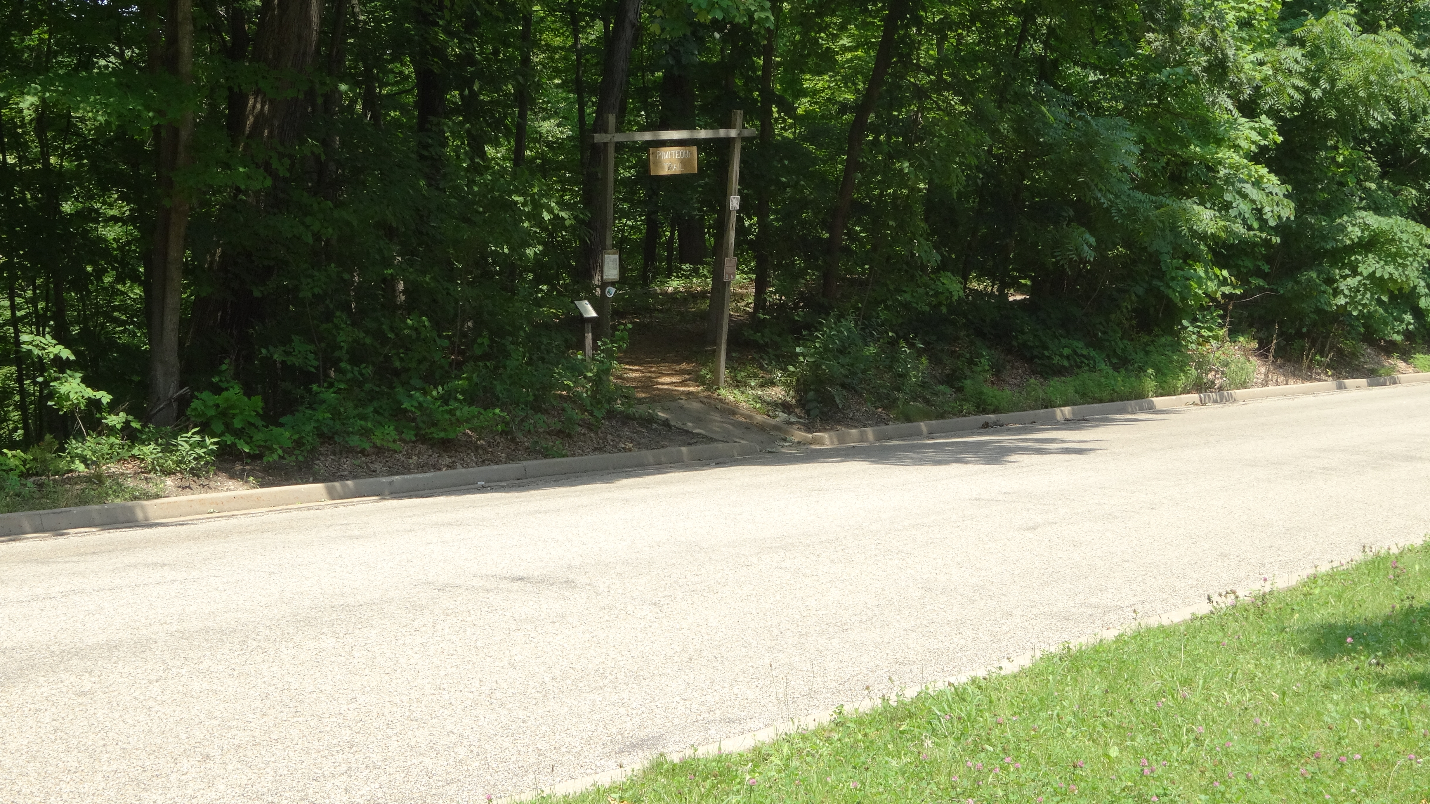
mile 0.0(6.9) START Park near the Pine Shelter parking lot at Detweiller Park, 8800 N. Galena Rd (Rt 29) Peoria, IL. Look for the Pimiteoui trail head nearby. You will see the mile 6.9 marker at the start.
mile 0.2(6.7) Cross Detweiller Drive road. Pick the trail up just across the road. Marked as Pimiteoui trail.
mile 1.1 (5.8) Entering the former Salvation Army Green Valley Camp. Watch closely for the small teardrop shaped trail markers in this section.
mile. 1.25 Head back into forest along a narrow path. As of July 2021 there were no open restrooms in this park.
mile 2.45 Cross a private road (Boyds Hollow Road). Note you cannot access the trail from this private road. Only cross the road.
mile 2.6(4.3) Cross under IL Route 6 highway through a 6ft 6inch single track tunnel Turn left at next fork in tral
mile 2.9(4.0) At a small trail map sign and wire fence you can look down over the Route 6 highway valley. Excellent view any time of year.
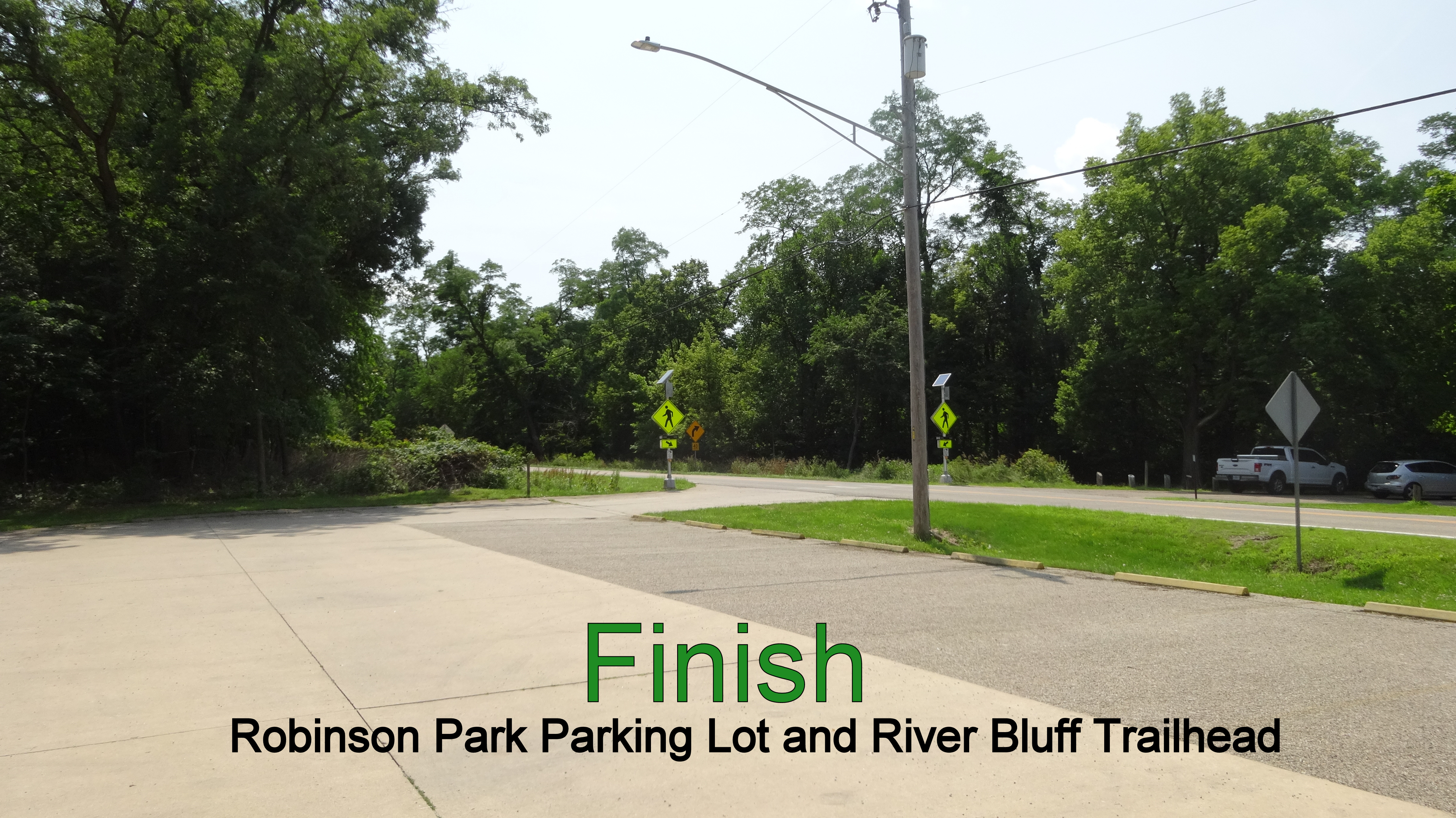
mile 4.7(2.2) END. Enter the parking lot where you left a car or have a ride waiting. This is Robinson Park South Lot, on 200 W. Mossville Road. There are restrooms across the road in the main developed part of the park.