


Overview
- Length: 1.9 miles
- Elevation gain/loss: 252
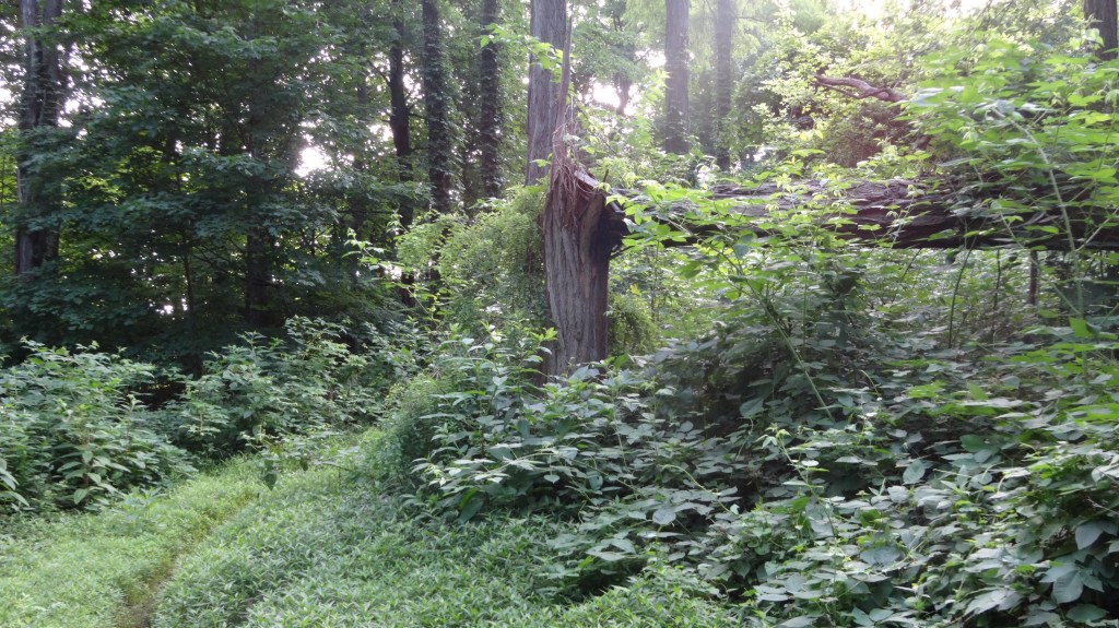
- Surface: woodland trail
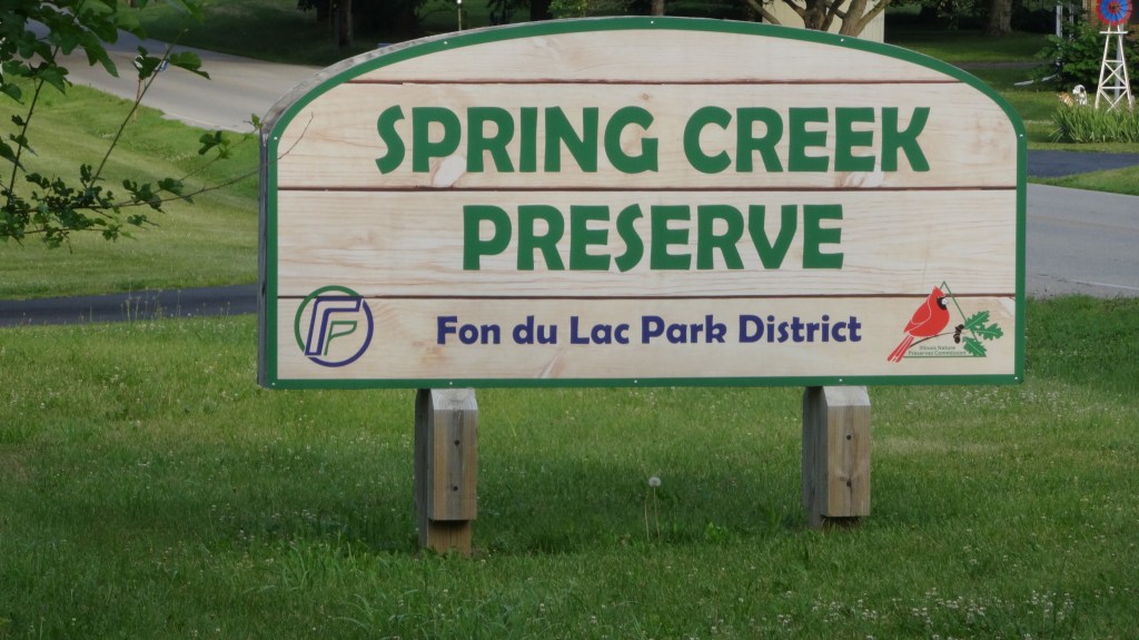
- Trailhead location: N Spring Creek Road – 0.2 miles east of US Rt 116 intersection with Spring Creek Road
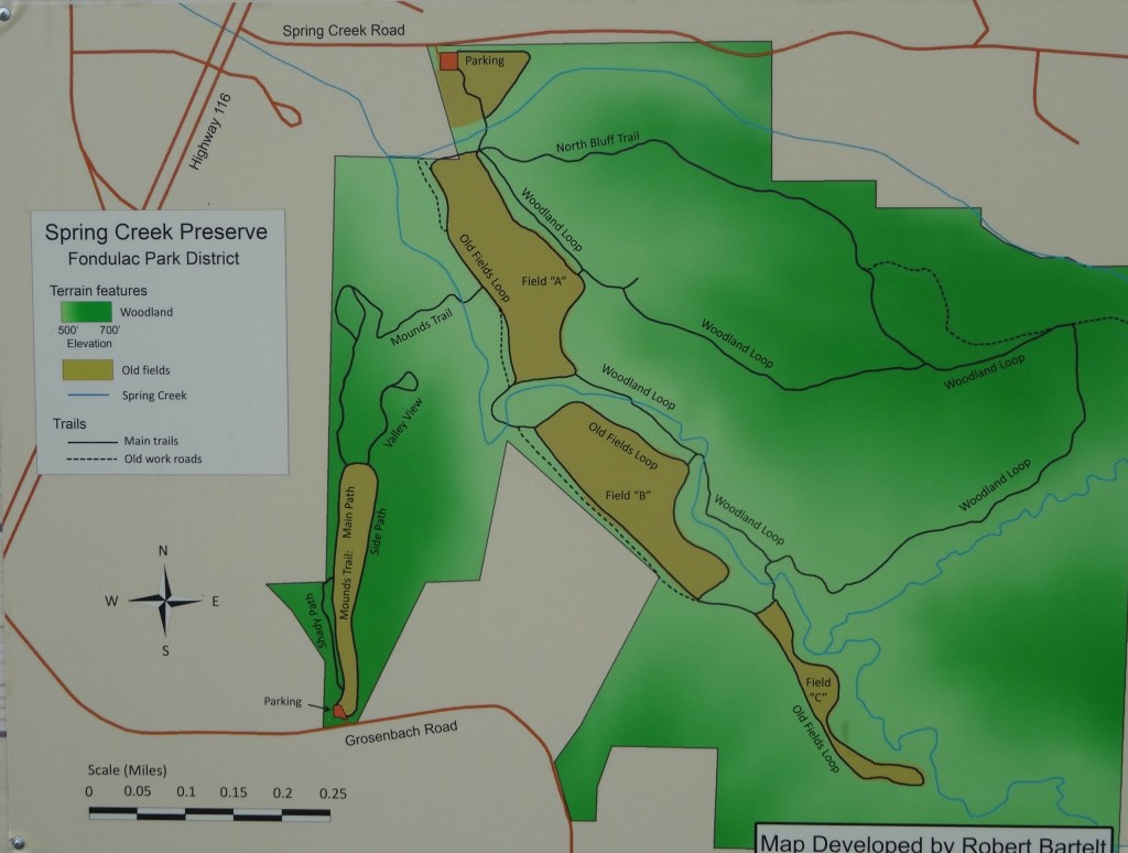
This trail is located in a 262 nature preserve managed by the Fondulac Park District. It is a very short drive from both Peoria, IL and Washington, IL. This route has a few creek crossings that could be challenging right after a rain, but otherwise they will likely be dry. There is a large parking lot at the Spring Creek Road trailhead which is just 0.2 miles off US Route 116. There are other trails in this nature preserve but the one described cover the deepest forest and has the most elevation change.
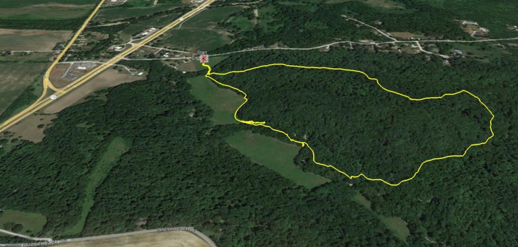

Turn by Turn Directions – (clockwise, one way)
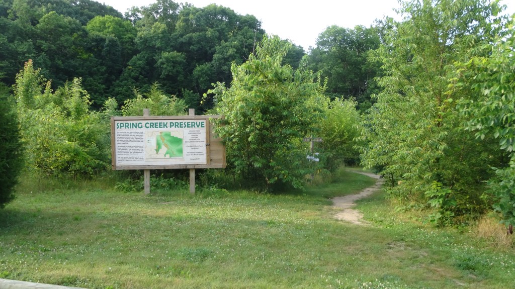
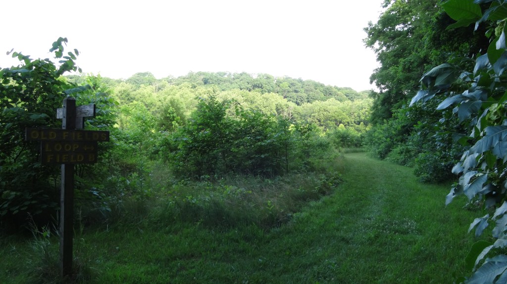
mile 0.0 START- after parking there is a trailhead located by a large map that is posted
mile 0.1 – turn left heading uphill following the sign to North Bluff Trail
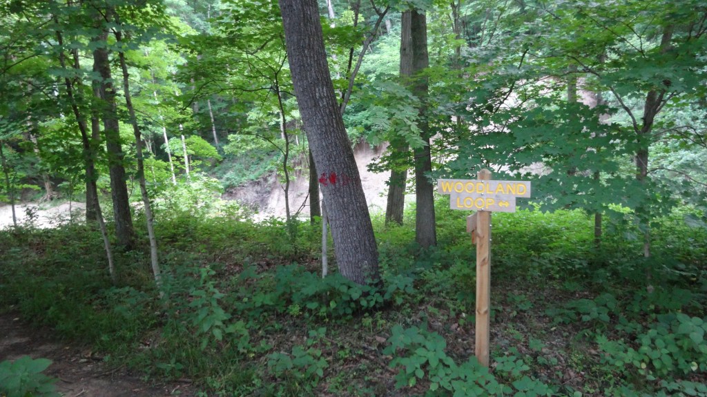
mile 0.6 – turn left at fork in trail following the woodland loop trail
mile 0.75 – turn right on trail. avoid following the abandon road which continues strait
mile 1.1 – turn right at fork in trail. Proceed on woodland loop trail crossing Spring Creek twice
mile 1.5 – trail skirts around “field A”. You will eventually come back to the intersection of North Bluff trail and woodland loop.
mile 1.8 – intersection of North Bluff, Field A, and Woodland loop trail. Follow sign back to parking lot
mile 1.9 – END at parking lot where you began.
