


Overview
- Length: 1.1 to 1.6 miles
- Elevation gain / loss: +275 ft / – 275ft
- Surface: woodland trail
- Trailhead location: 525 N Kickapoo Creek Rd, Peoria, IL (0.5 miles south of W Farmington Road)
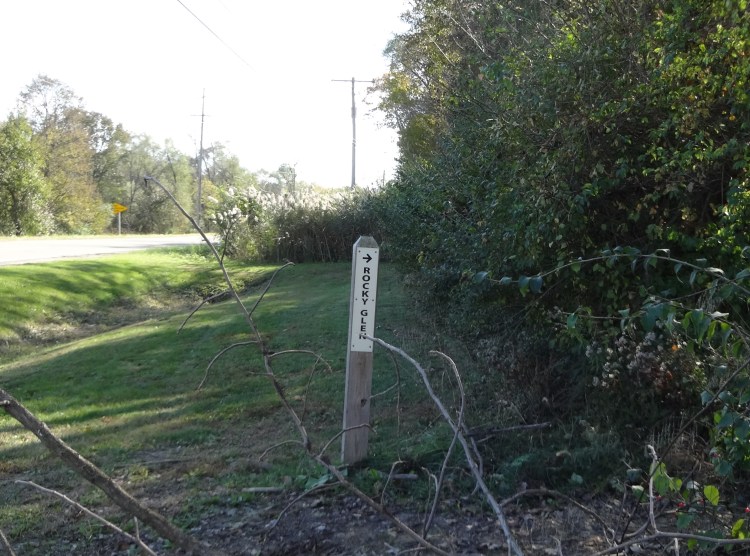
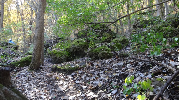
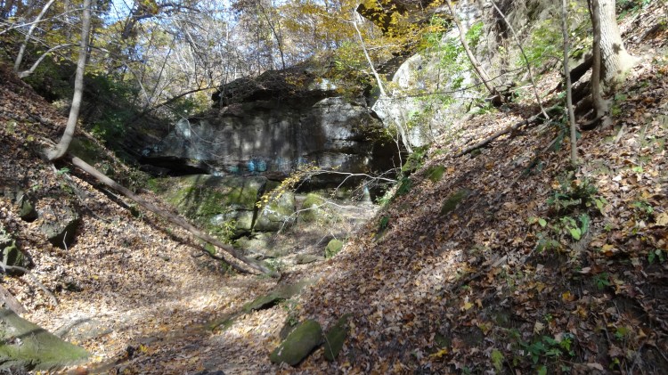
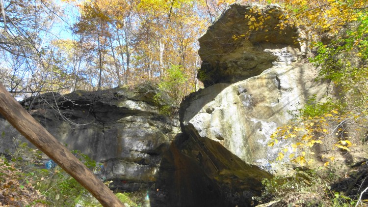
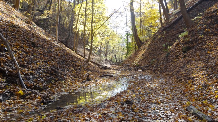
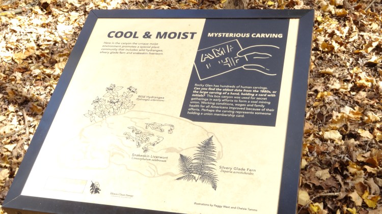
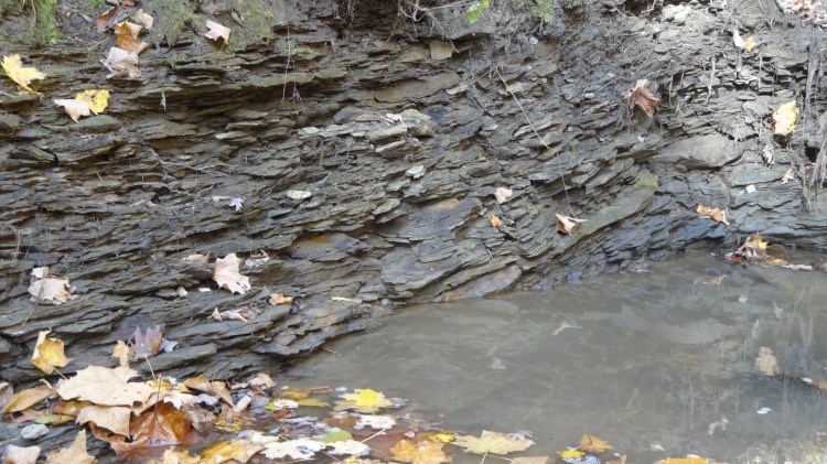
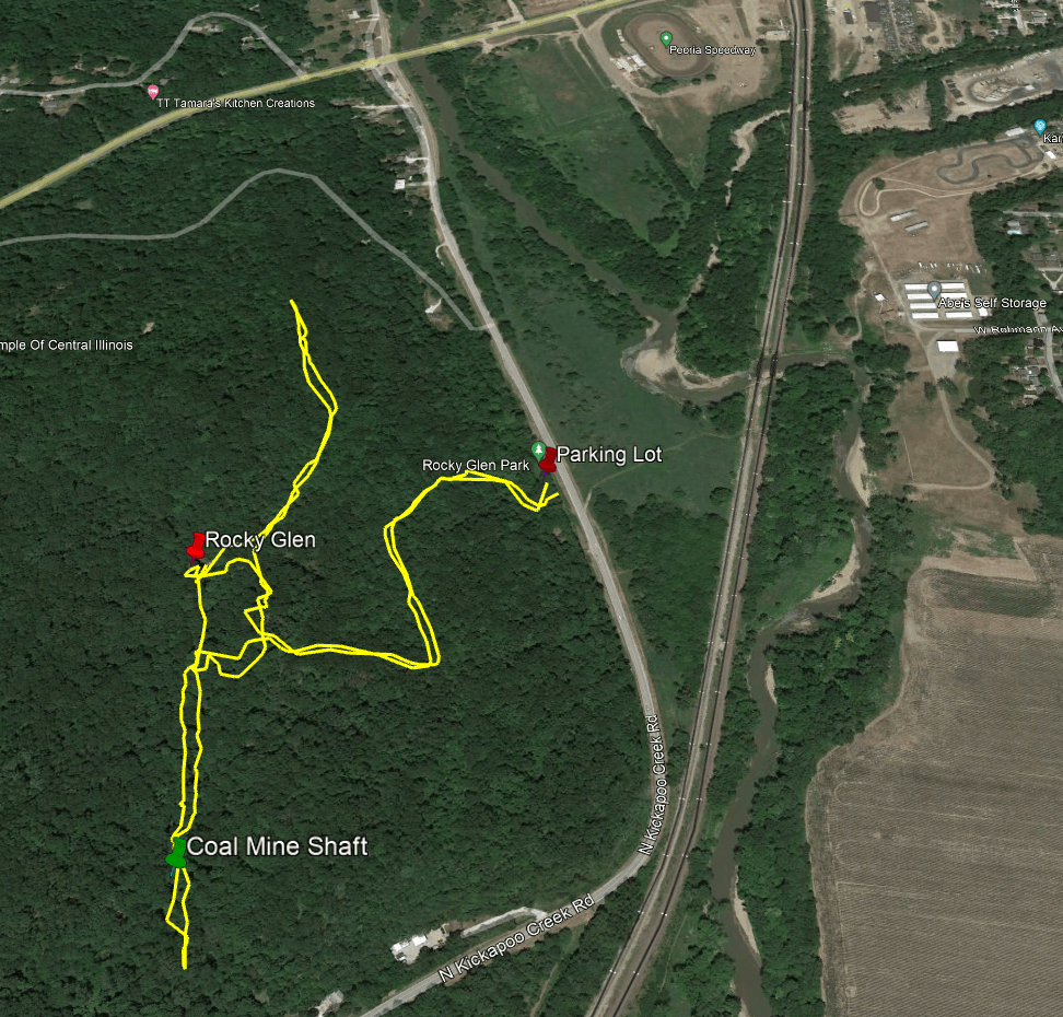
The hike to see the main attractions which are the Rocky Glen and the Coal Mine Shaft can be done in a 1.1 mile out and back (round trip). If you take the spur trails off the main trail you can create a 1.6 miles out and back (round trip) option. There is no other public trail quite like Rocky Glen in the Peoria area. A small stream pours over a high sandstone formation known as Rocky Glen and then flows along the bottom of a beautiful box canyon. The small paved parking lot is often full on weekends but there is overflow parking on the grass. The official trail head is just a few yards south of the parking lot along Kickapoo Creek Road. See by the mile route guide below.
Turn by Turn Directions – Clockwise
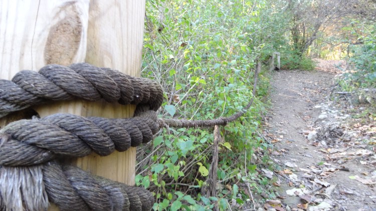
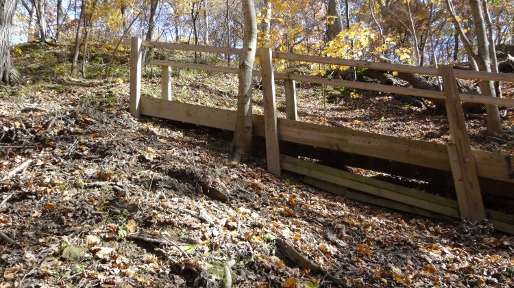
mile 0.0 START – Parking along Kickapoo Creek Road in the small paved lot. Begin your hike at the post marked Rocky Glen with an arrow. You will immediately pass some interesting rock formations on your right and soon come to a steep 40 foot uphill climb which has a heavy rope strung between posts to hold onto in slippery conditions. After the rope there is a set of stairs, then some switchbacks which make the 140 foot total vertical climb easier. At the top of the hill, the view to the east is very good when the leaves are off the trees.
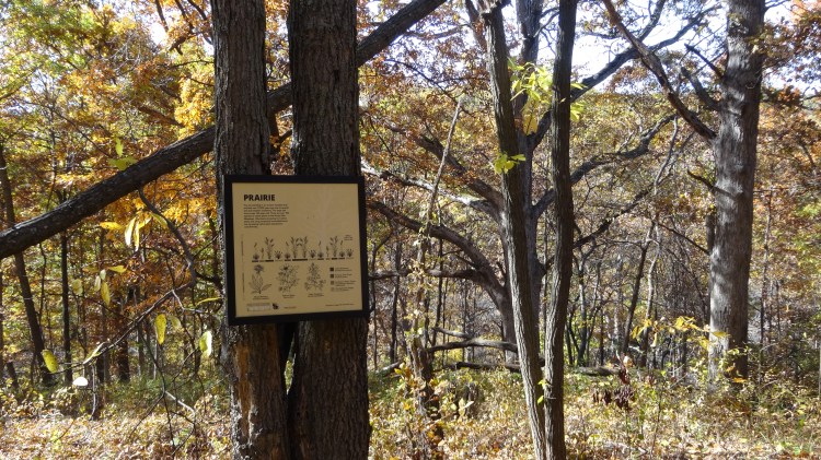
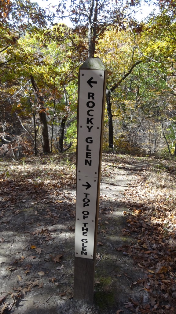
mile 0.3 Trail intersection post marked Rocky Glen (left) and Top of the Glen (right). Proceed left to Rocky Glen. Note you can also turn right at this intersection and follow a trail that goes above Rocky Glen and proceeds to the north end of the park boundary. This is a 0.25 mile spur trail. If you take it out and back to this intersection it will add 0.5 miles to the trip and make the hike total 1.6 miles. Some people also scramble down to the Rocky Glen from makeshift trails off the Top of Glen spur trail. This is not recommended as its much easier to approach Rocky Glen from the trail along the stream at the bottom of the box canyon.
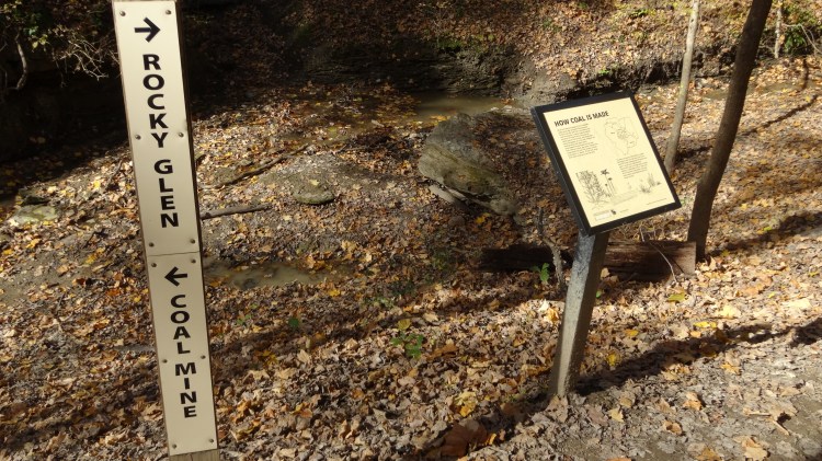
mile 0.4 You will reach a sign marked Rocky Glen (right) and Coal Mine (left) proceed right to Rocky Glen. You will follow a small creek for about 500 feet that dead ends at Rocky Glen. After exploring Rocky Glen, turn back South and proceed along a trail which follows the creek until you reach the old coal mine shaft.
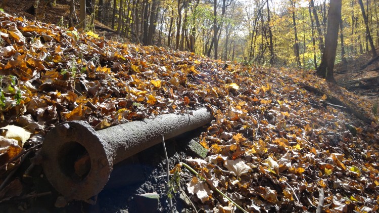
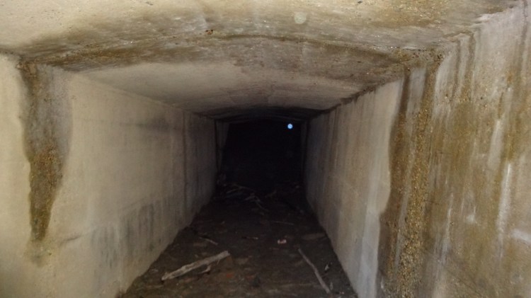
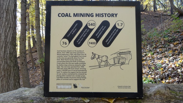
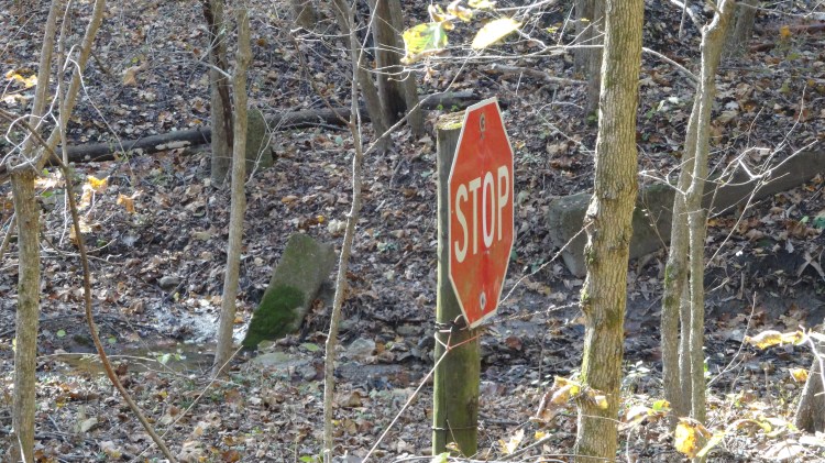
mile 0.6 The gated coal mine shaft is located on the west side of the creek. After reading the nearby sign and looking down the shaft with a flashlight, you can proceed a few yards farther south along the creek until, but you will soon come to a fence and a stop sign which marks the private property boundary. Turn around and proceed north back along the creek.
mile 0.8 Head up the stairs to take the trail back to the parking lot.
mile 1.1 FINISH at Parking lot. Note if you took the spur trail to Top of Glen and as far north in the park as you could, then your total mileage will be about 1.6 miles.
