


Overview
- Length: 4.0 Miles
- Elevation gain/loss: negligible
- Surface: Paved
- Trailhead location: Liberty Park – 300 block of SW Waters St, Peoria IL
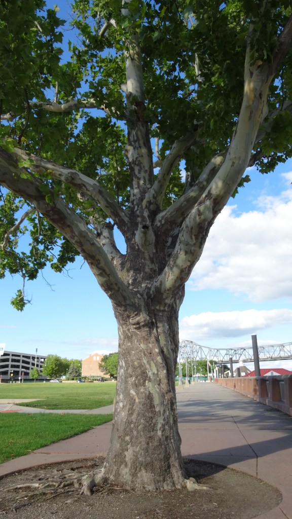
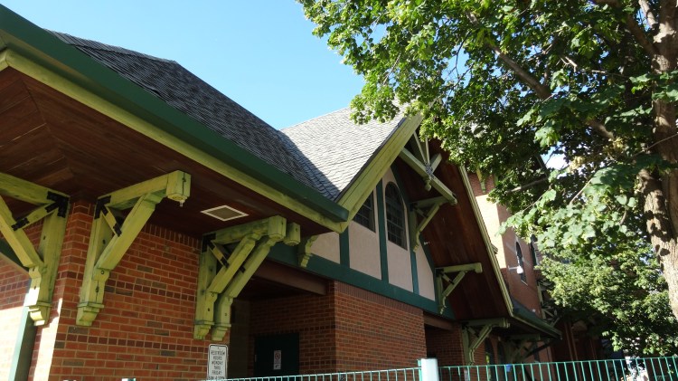
This is a hike in downtown Peoria that hugs the Illinois River and has more interesting things to look at per mile than any other hike you will take in the area. Most of this hike is along the Rock Island Greenway Trail (RIG) with the exception of the first 0.6 miles, the hike out to the jetty at Detweiller marina, and the loop around park at the marina. It is all flat making for an easy hike even though it is a 2.0 mile out and back (4.0 round trip). Highlights include Constitution Gardens, the Dan Fogelberg Memorial, Riverfrount Park, Liberty Park, the French Settlement site of Old Peoria circa 1692, multiple views of the river, the Military Services Memoria Plaza, multiple outdoor sculptures, and an upclose look at the I-74 bridge. Take this trail anytime of the year, but early evening or morning in the summer is an exceptional experience.

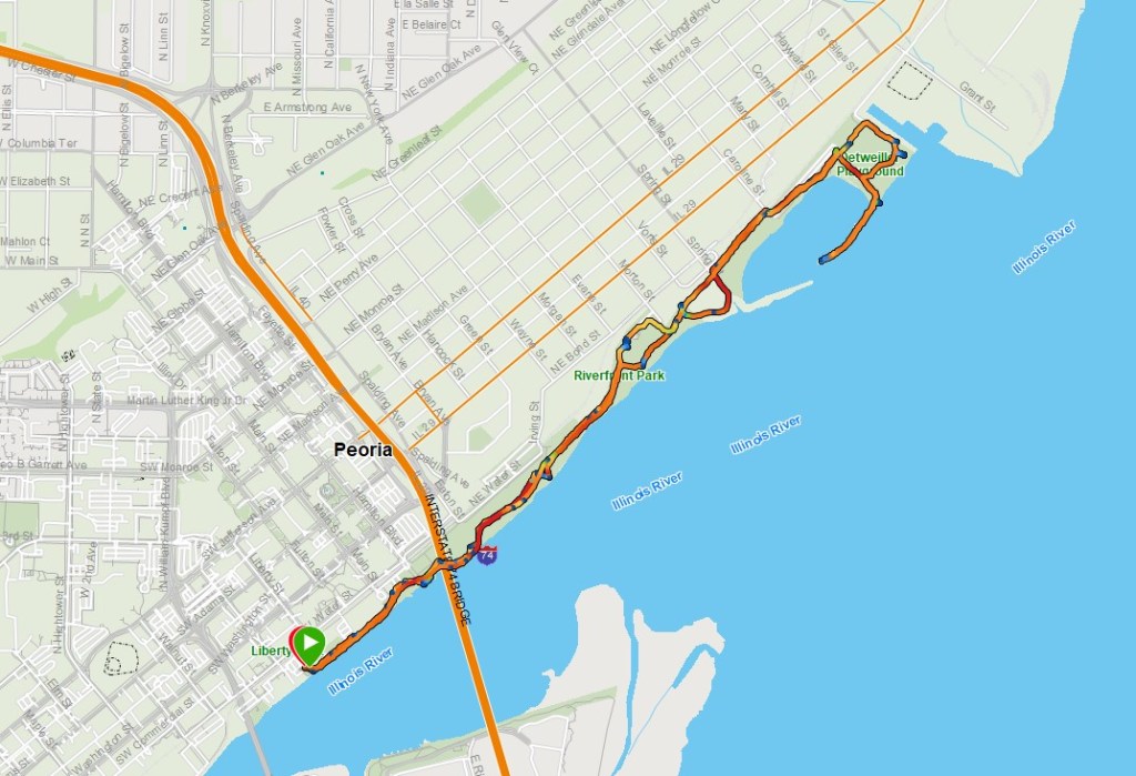
Turn by Turn Directions – (clockwise, one way)
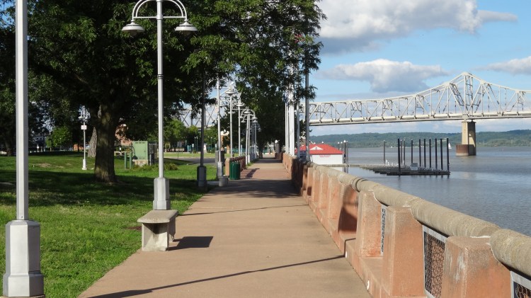
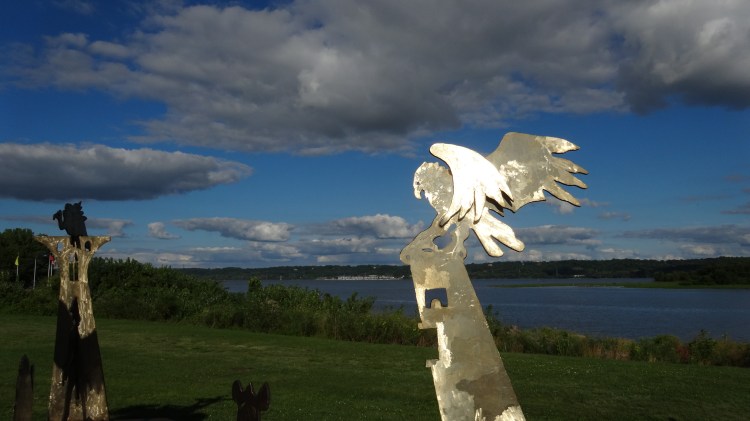
mile 0.0 START- Park at the large lot across from RC Outfitters in the 300 block of SW Adams. This is officially Liberty Park. It is also where the Farmers Market is held on Saturdays during the summer. Begin hiking on the sidewalk along the river. This is not the Rock Island Greenway trail yet. That trail is close by, but parrallels the railroad tracks. You will start at a unique steel sculpture which is white with two small figurines in the center. Head north (left) along the riverfront sidewalk
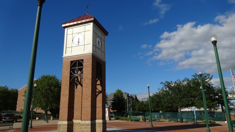
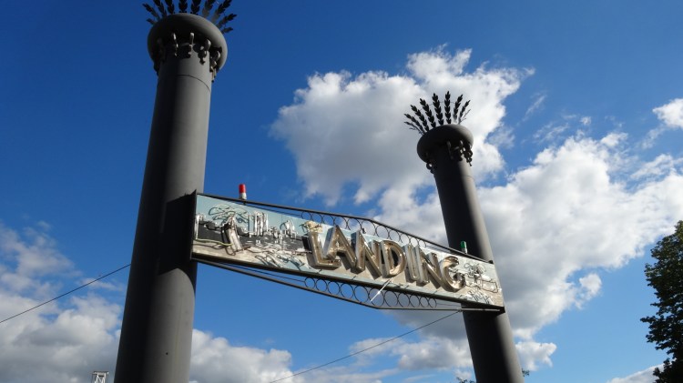
mile 0.2 – Pass the clocktower. Proceed into the Landing concern venue area. Unless there is an event going on, the gates will be open.
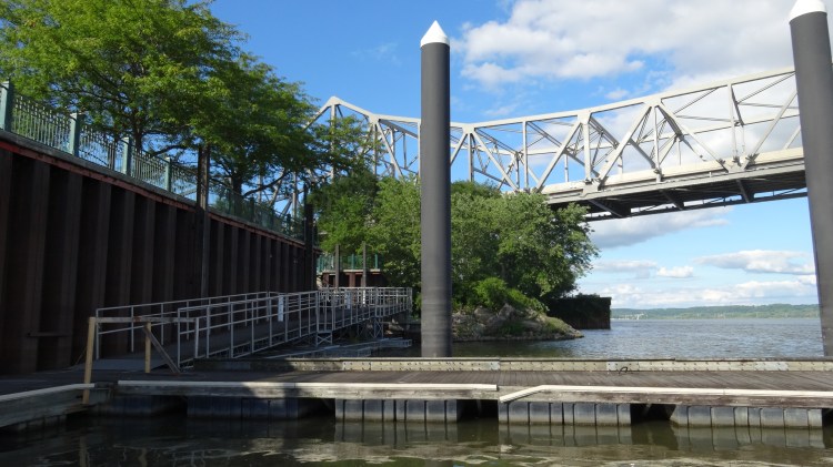
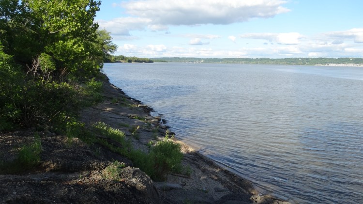
mile 0.3 – A walkway down to the river is on your right. This is access to boat docks and a good place to see the bridge and river up close.
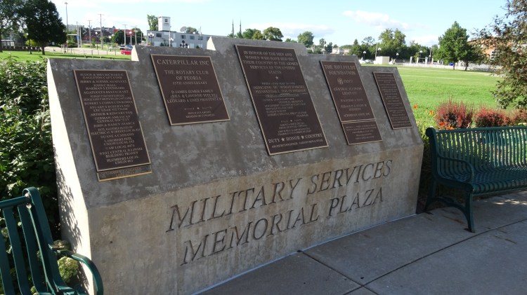
mile 0.45 – pass the Military Services Memorial Plaza. All branches have a monument. Well worth a stop.
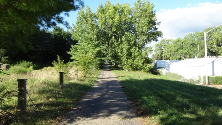
mile 0.65 – in the area of the purple martin sanctuary there is a great place to view the river with two large blocks and a clearing. Just past this area you will join the RIG (Rock Island Greenway) trail. Proceed north following close to the river.
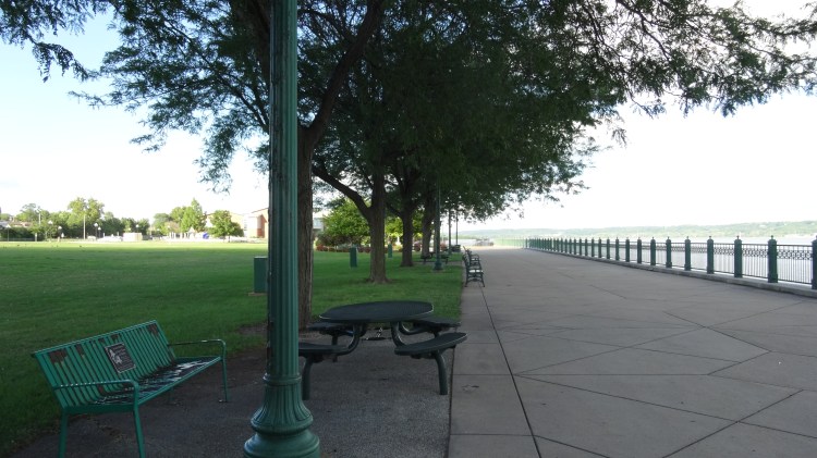
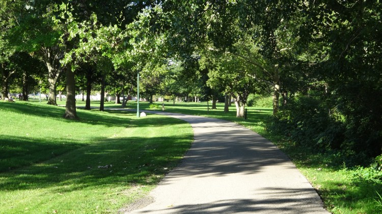
mile 0.9 – bear right at the fork in the trail. You are now in the Riverfront Park. This is a great place to spend some time in the summer. Very shaded in most areas.
mile 1.1 – bear right at the fork in the trail. You are in the newest trail section just opened in 2022. It is called the Sinclair Grove area.
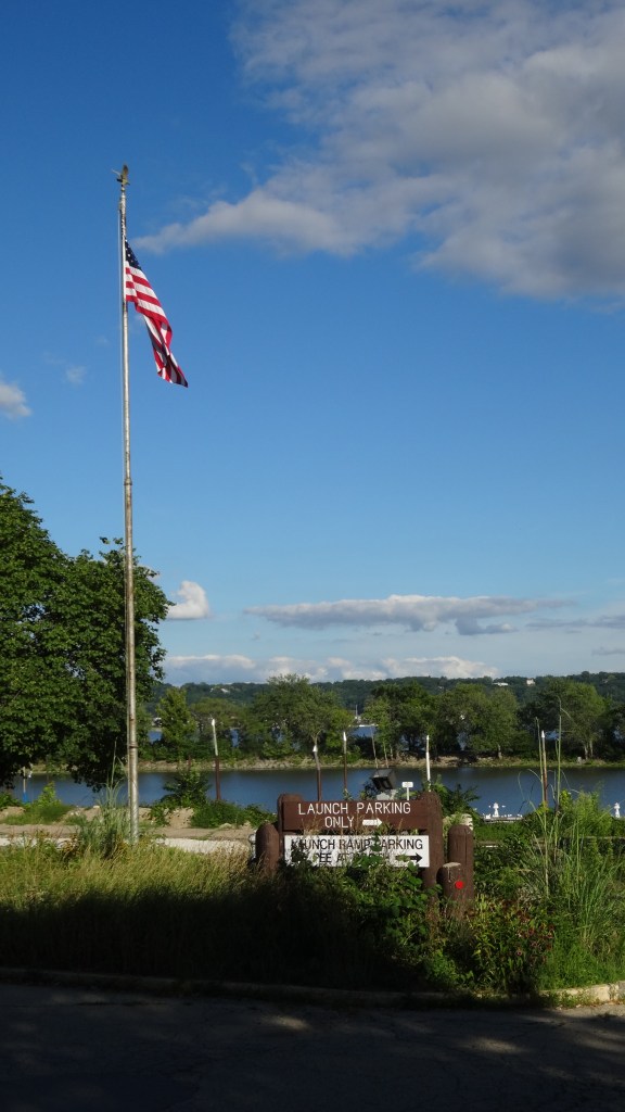
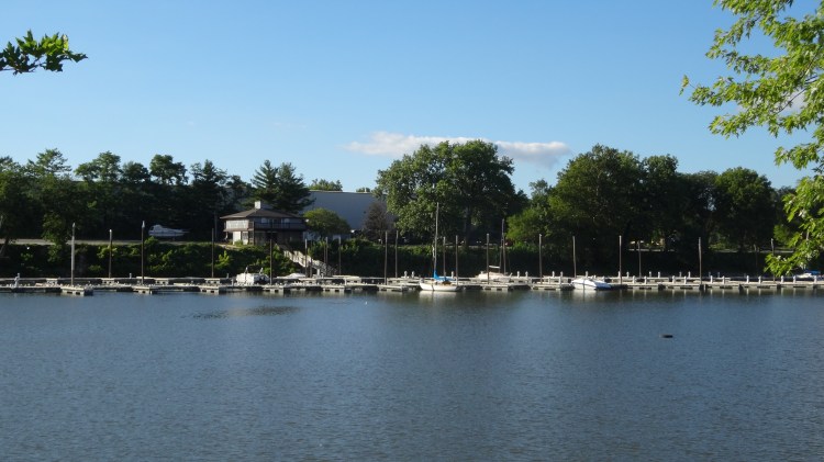
mile 1.2 – turn right onto RIG trail again and continue north. This is the Detweiller marina on your right
mile 1.4 – enter into the Detweiller marina. Turning right the left following the sidewalk the goes past the main boathouse.
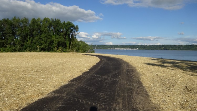
mile 1.6 – turn right leaving the RIG and follow the long paved trail out to the jetty
mile 1.9 – you reached the end of the jetty. Note while the marina has two jetties, only one has a trail to the end. Turn around and head back the way you came.
mile 2.1 – you have the option to take a right and loop around the small park associated with the marina park. Follow the loop trail which boarders the US Army Corps of Engineers fencing along one side. Continue south back the way you came.
mile 2.4 – you are back on the RIG trail and headed back (south) you will pass a memorial to the French Peoria settlement established in 1692.
mile 3.0 – ** on your return trip be sure to turn right at the fork in the trail to the spur trail to Constitutional Gardens. While small, this is must see stop especially in the summer. You can spot it by the circle of flags flying. The physical address is 101 Morton St. Peoria IL which is the entrance to the parking lot. Built in 1987, it is a memorial to the formation of the US Constitution. There is a parking lot here also. In fact this lot would be a good spot to begin and end this same hike.
continue south back towards downtown Peoria on the same trail you came in on.
mile 3.7 – as you approach the I-74 bridge be sure to check out some of the engraved stones in the area as well as views of the river. You can photograph 3 of the Peoria bridges in one shot from this vantage point.
mile 4.0 – END
