Overview
- Length: 2.2 miles
- Elevation gain / loss: +350ft / – 350ft
- Surface: woodland trail + small portion of park road
- Trip start location: Detweiller Park – 8327 N Galena Rd, Peoria, IL 61615
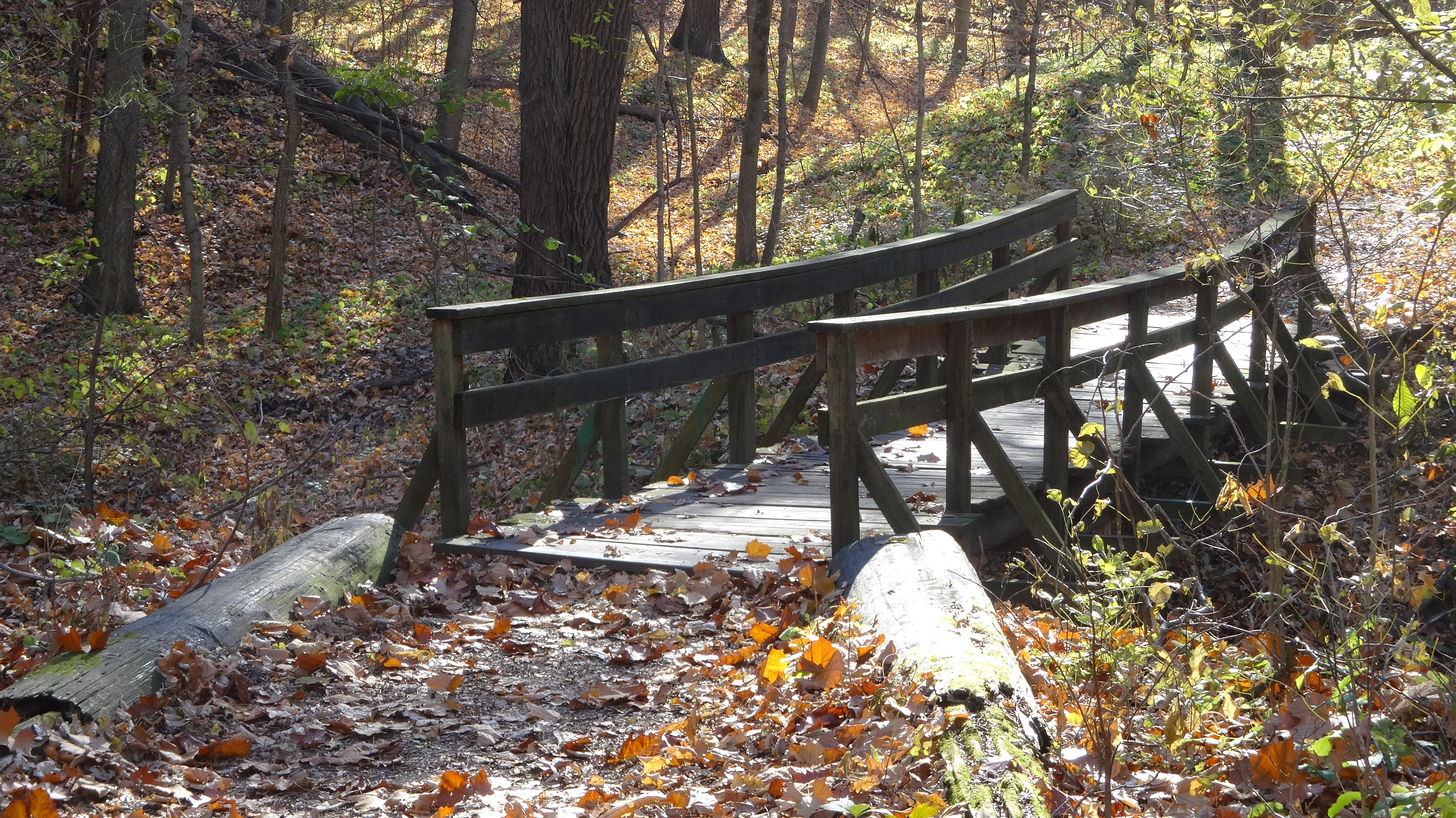
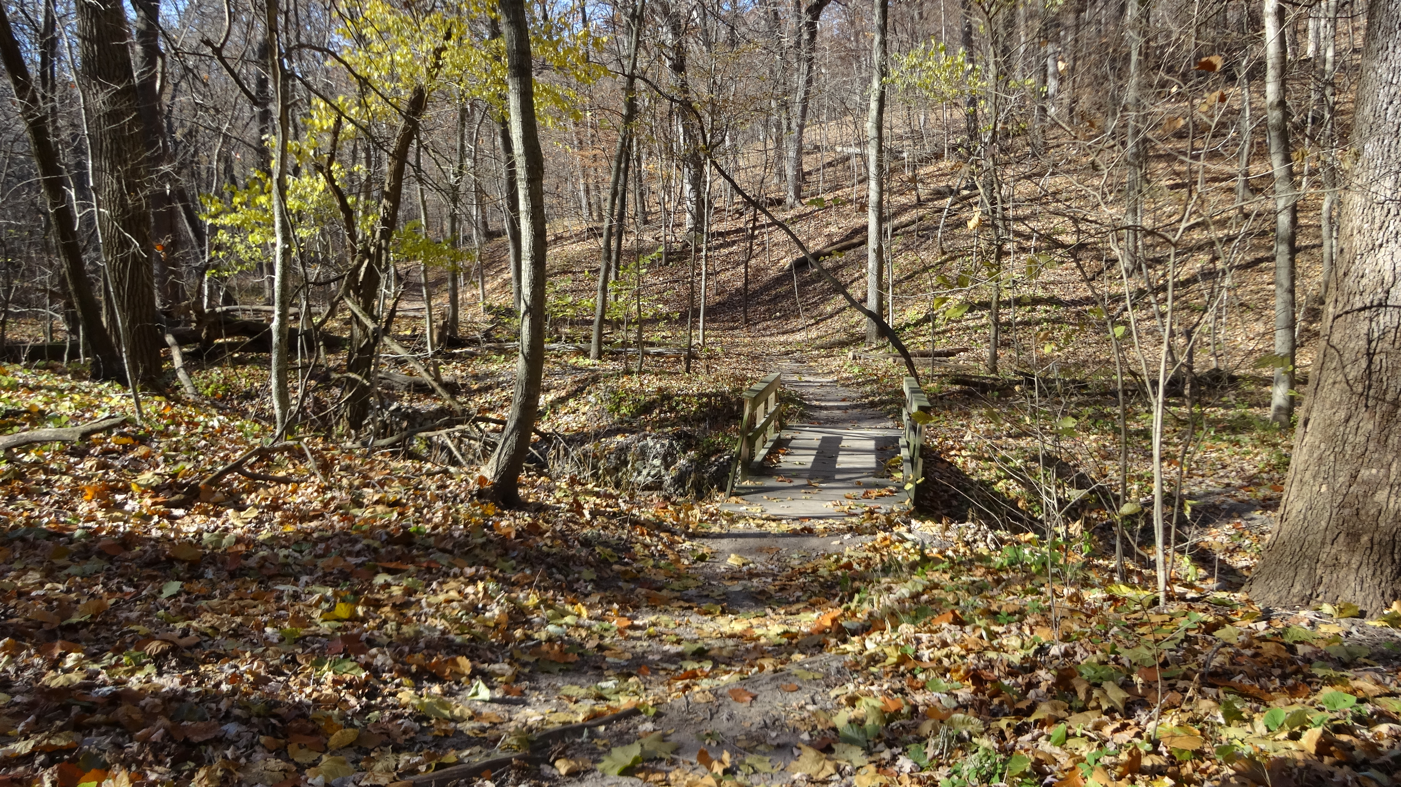
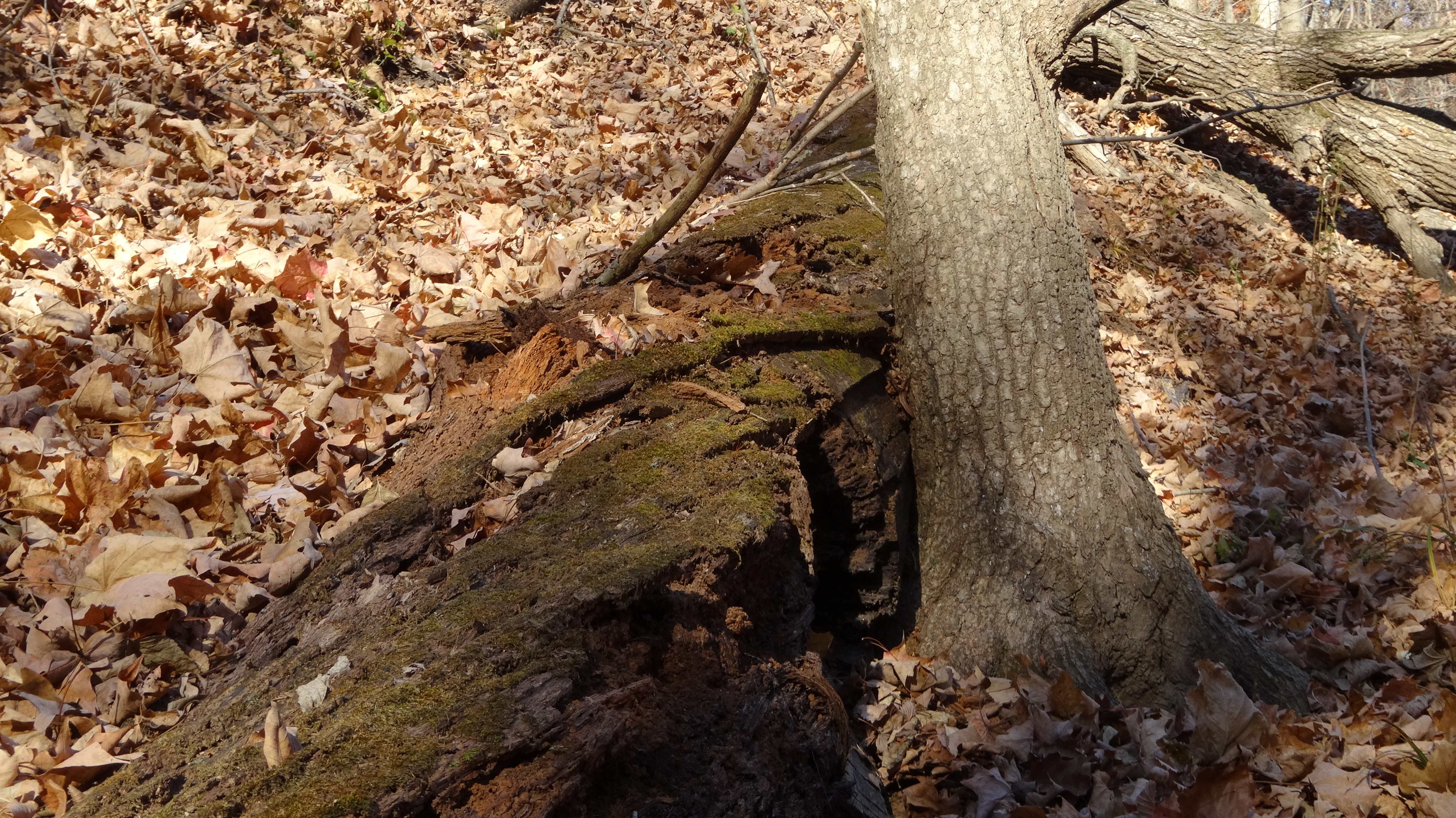
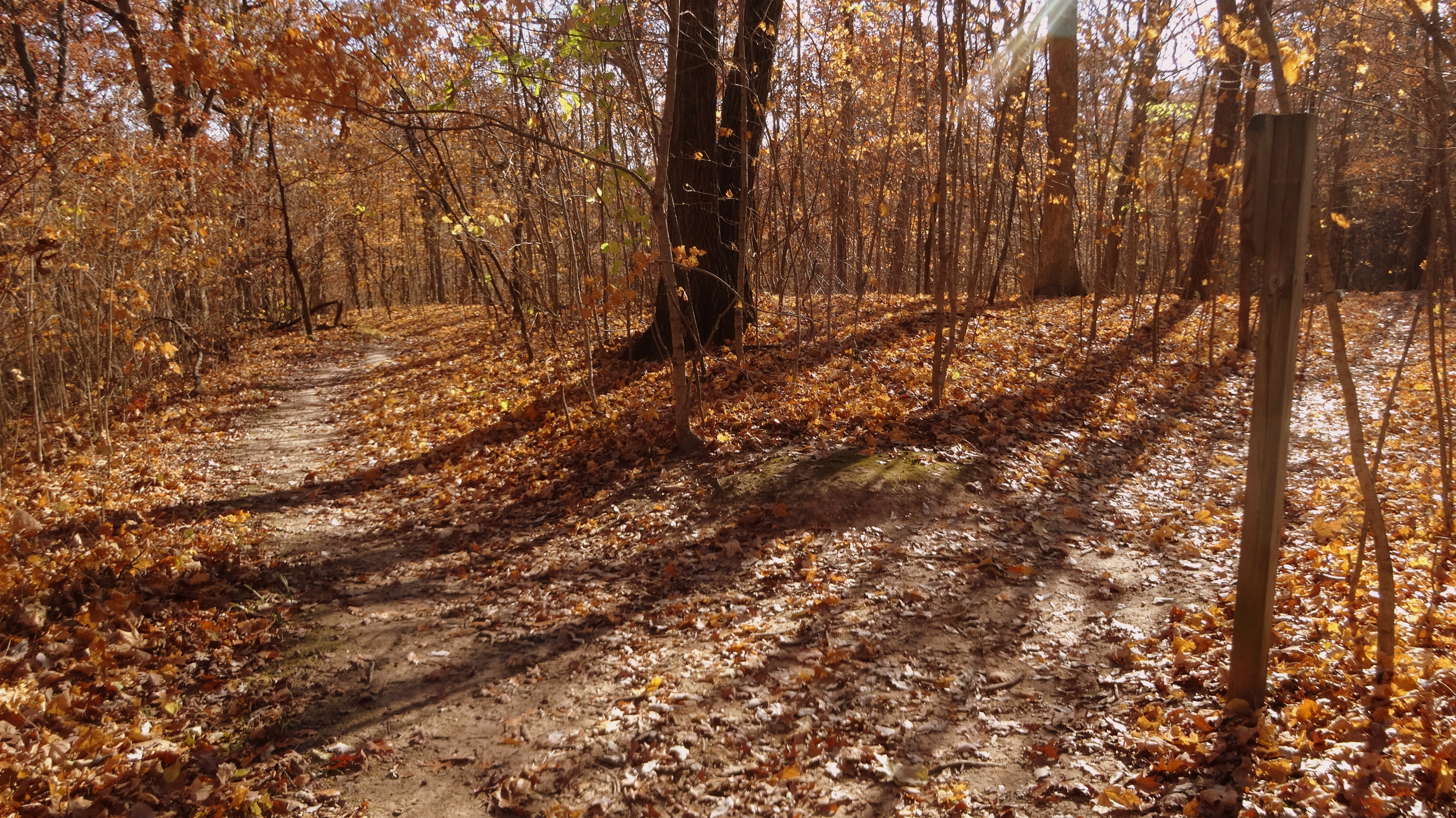
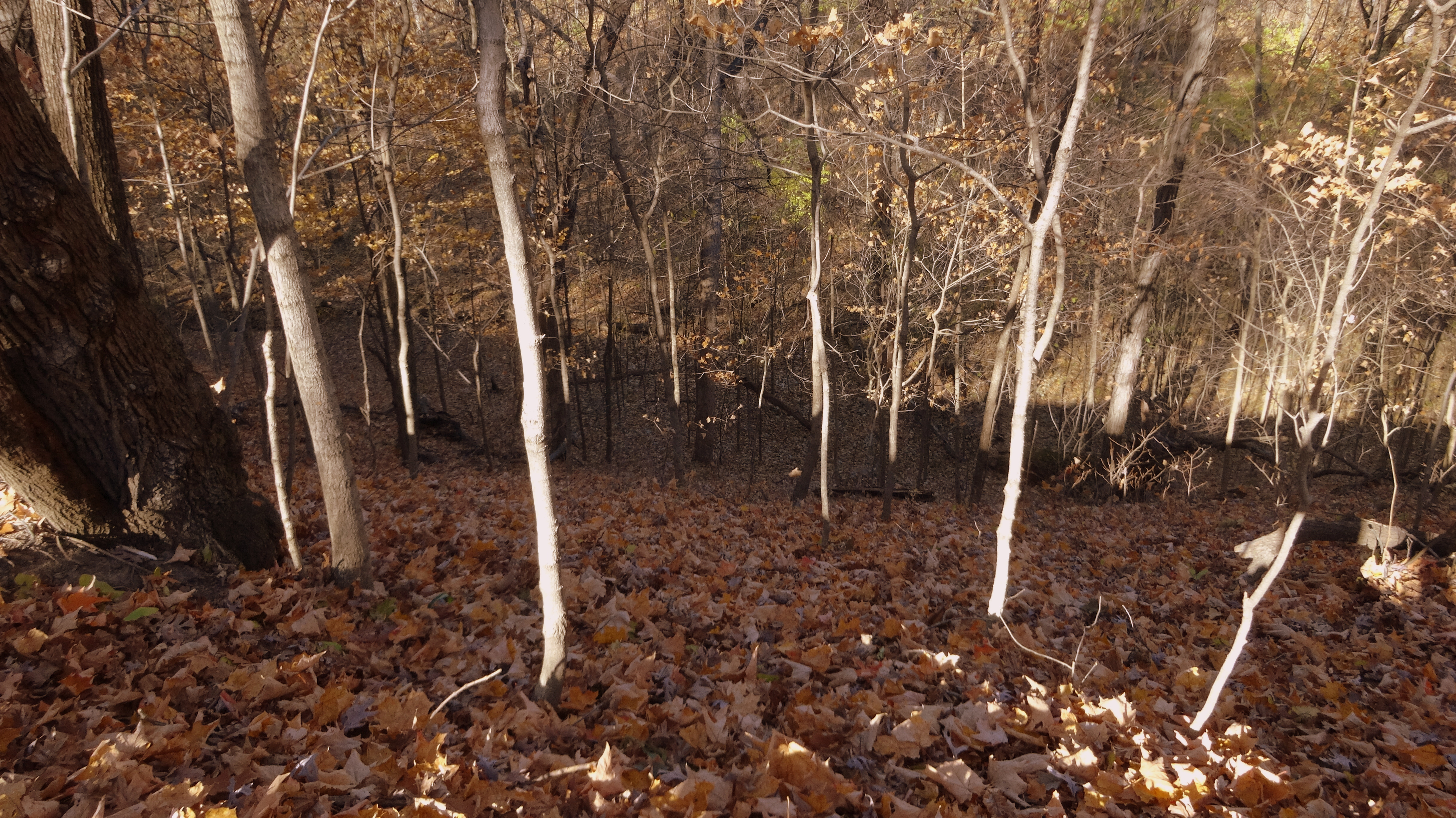
This hike is a good way to see all the trails on the south end of Detweiller Park. These trails are also the farthest from roads and have some very deep ravines that add interest. If you had to choose just one hike in Detweiller, this is the one I would recommend. To make connections you will hike along the park road (W Detweiller Dr) for a very short distance twice. The elevation gain is modest and none of the climbs are exceptionally steep. Watch the directions closely as you get on and off W Detweiller Drive as the trail signs on that portion are easy to miss. See by the mile route guide below.
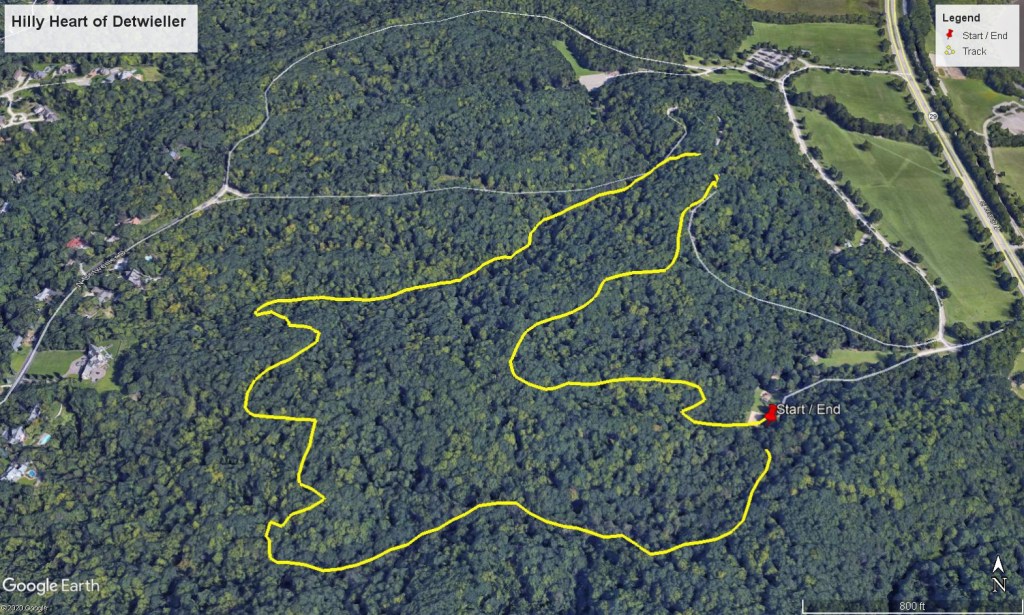
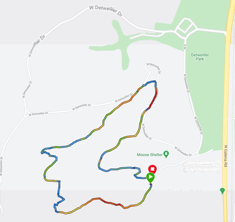
Turn by Turn Directions – Clockwise
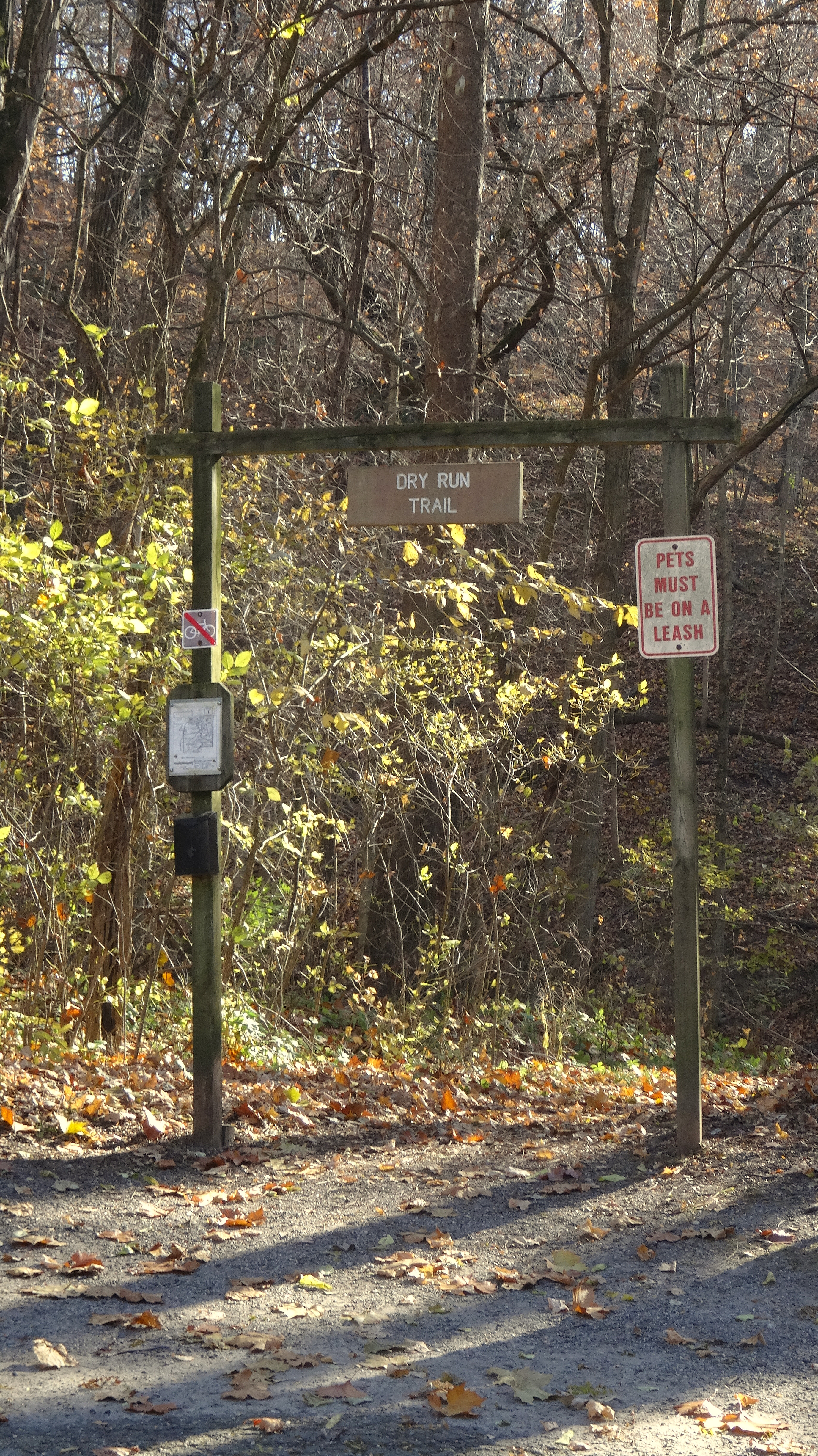
mile 0.0 START Park at end of the road that leads to Moose shelter and the sand volleyball courts. There is a playground near the trailhead. This is on the far south end of the park. Head down Dry Run Trail. Directions are clockwise.
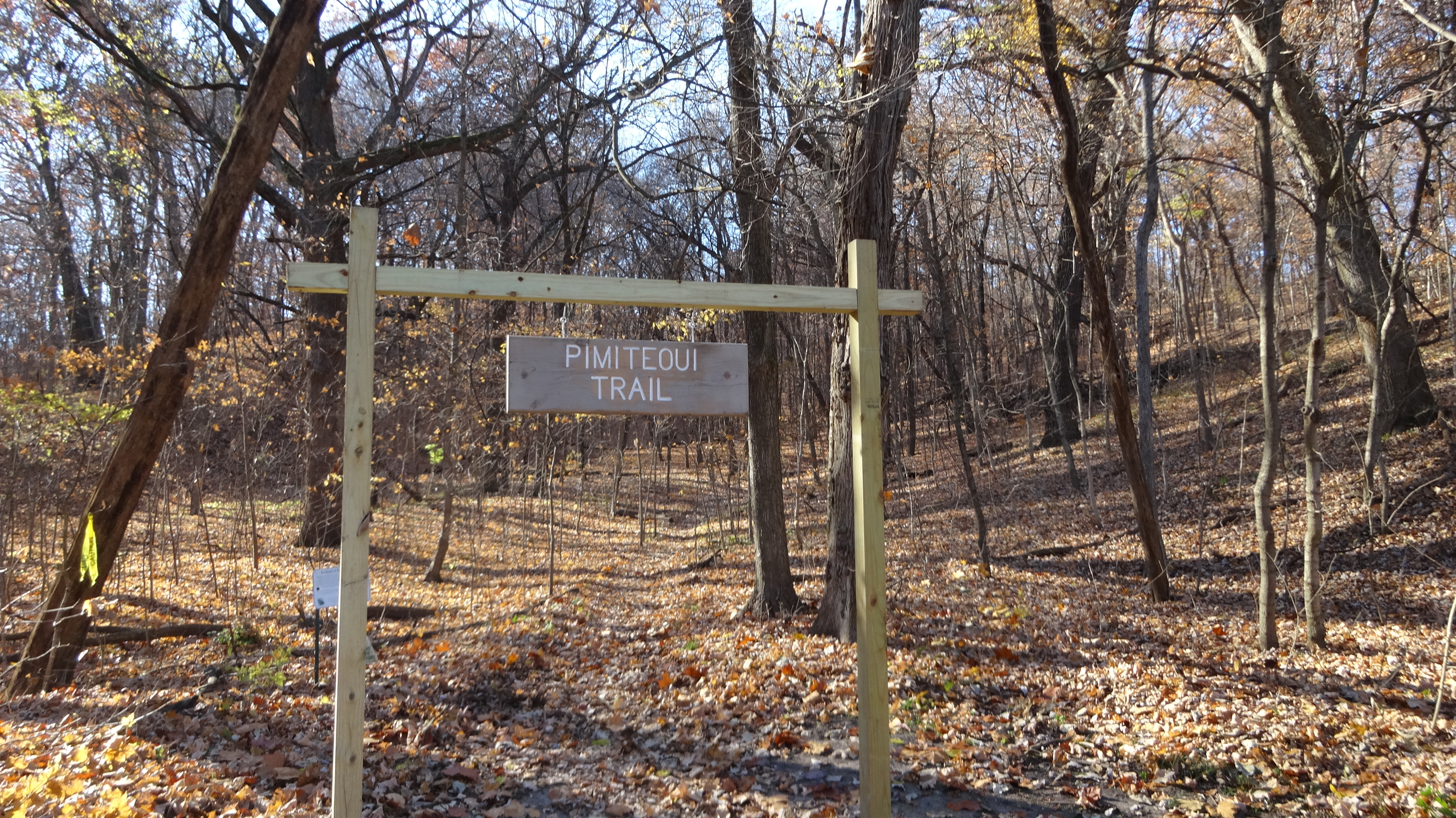
mile 0.6 Turn left on Pimiteoui trail
mile 1.3 When you come off the Pimiteoui trail onto a road (it will be W Detweiller Dr) stay to the right shoulder and in about 100 feet you will see another trailhead. This is the River Overlook trail. Take that trail for a short distance.
mile 1.45 The trail will empty onto W Detweiller Dr again. Turn right and stay to the right shoulder of the road and start hiking. Watch for the next trailhead which will be on your right (about 500ft down the road)
mile 1.55 Turn right and head down the Oak Trail
mile 1.9 Turn left at the fork in the trail. This will put you on the Pimiteoui Trail
mile 2.2 END The trail ends within very near (200ft) where you started your hike.
