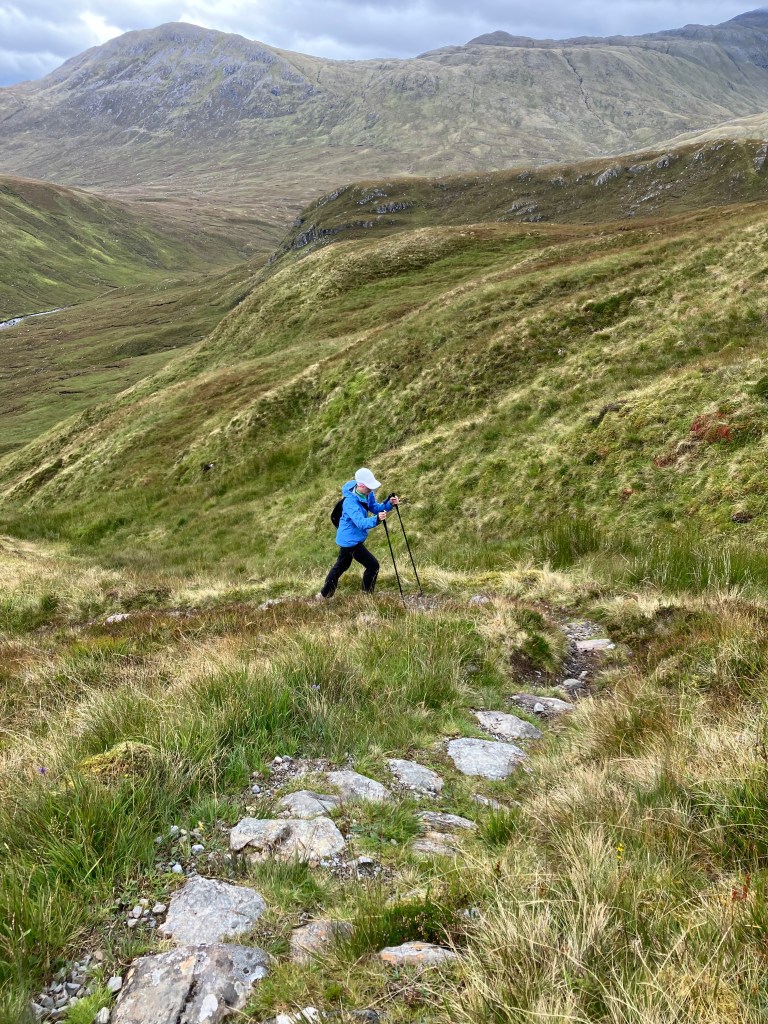
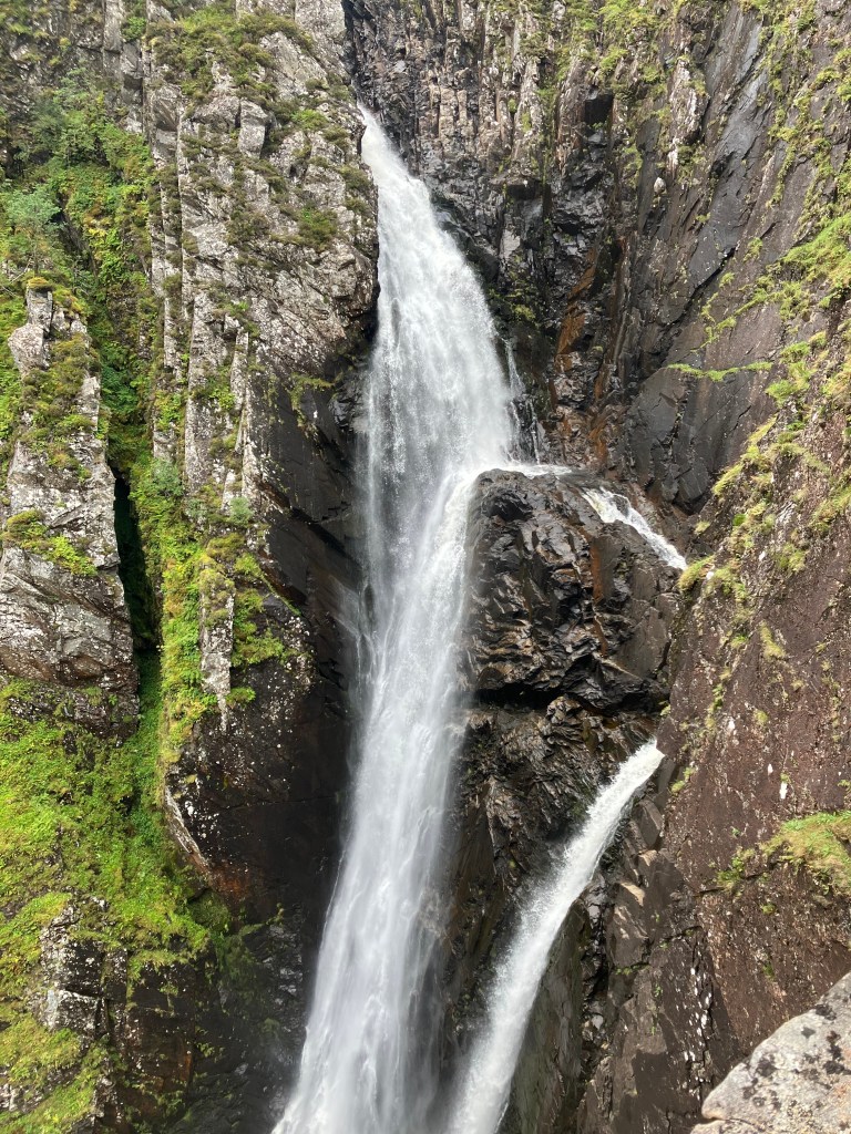
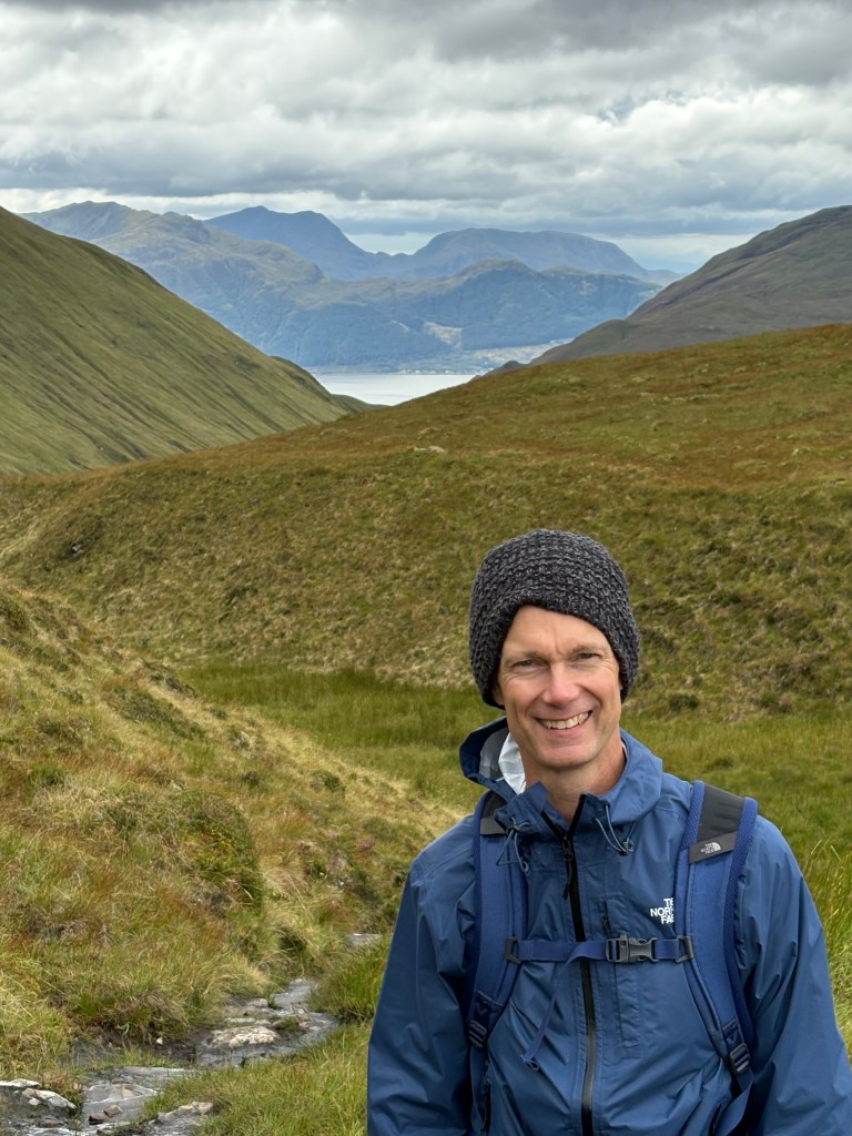
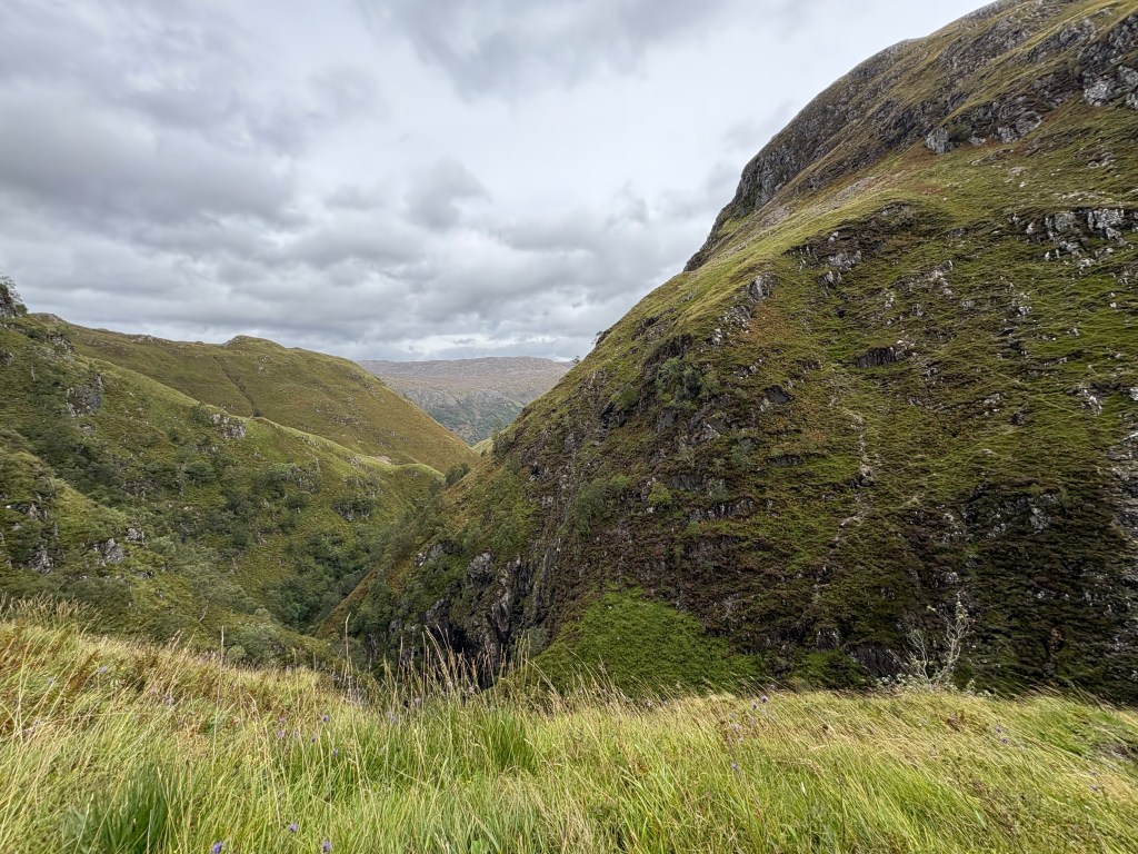
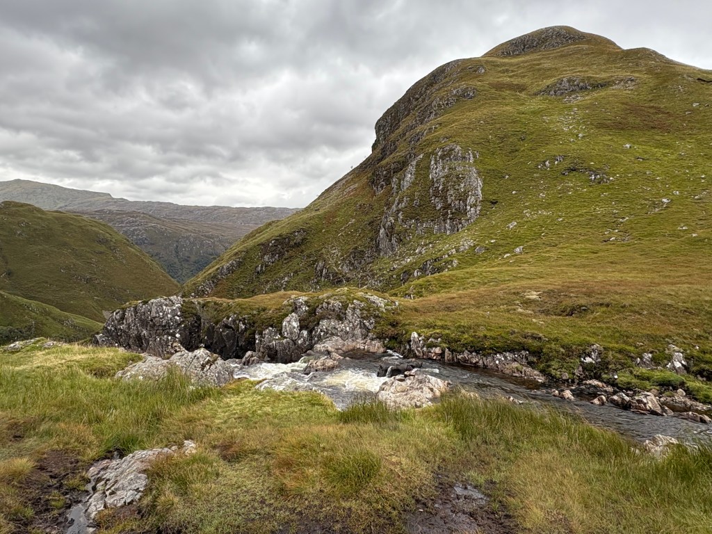
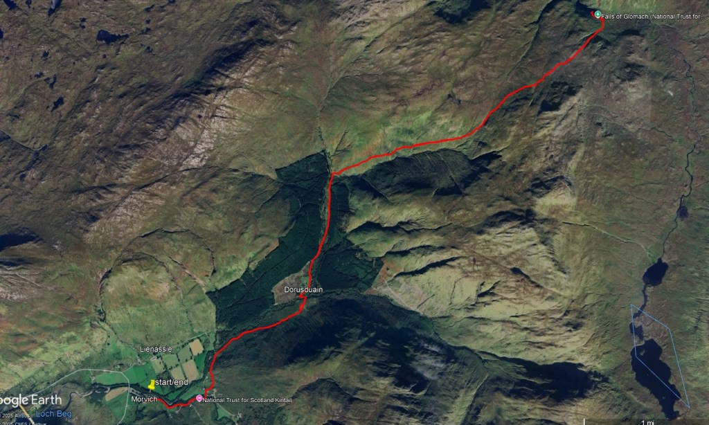
This is a fantastic out and back hike to one of the highest waterfalls in the UK. It is a 12 mile round trip so plan on a longer day. My wife and I did it in September of 2025 and it took us 6 hours with some time at the falls for a short lunch. The trail is easier at the beginning, but gets more challenging after about three miles in due to the significant elevation gain. We found this to be a great trail for solitude as we only saw three other hikers the entire trip. This was on a Saturday in early September. I would not recommend this trip on a rainy day as it could get very wet in spots. The area near the waterfall is especially wet. The volume and sheer drop of this waterfall is very impressive, but you will need to hike to the end of the trail (mile 6) to get the best views.
Trailhead parking:
6JM9+WQ6 Morvich, Kyle, UK – parking is on the south side of the road just across from the Morvich Caravan and Motorhome Club Campsite. After parking you will need to walk east down the road for 0.6 miles until you enter the trail at a location to the right of the road. Look for it after you cross the stream. Coordinates of trailhead are: 57.23616020566552, -5.368079799274017. There is not any parking at the actual start of the footpath.
Total distance 12 miles. Total elevation gain/loss: 2940 ft.
https://www.nts.org.uk/visit/places/falls-of-glomach